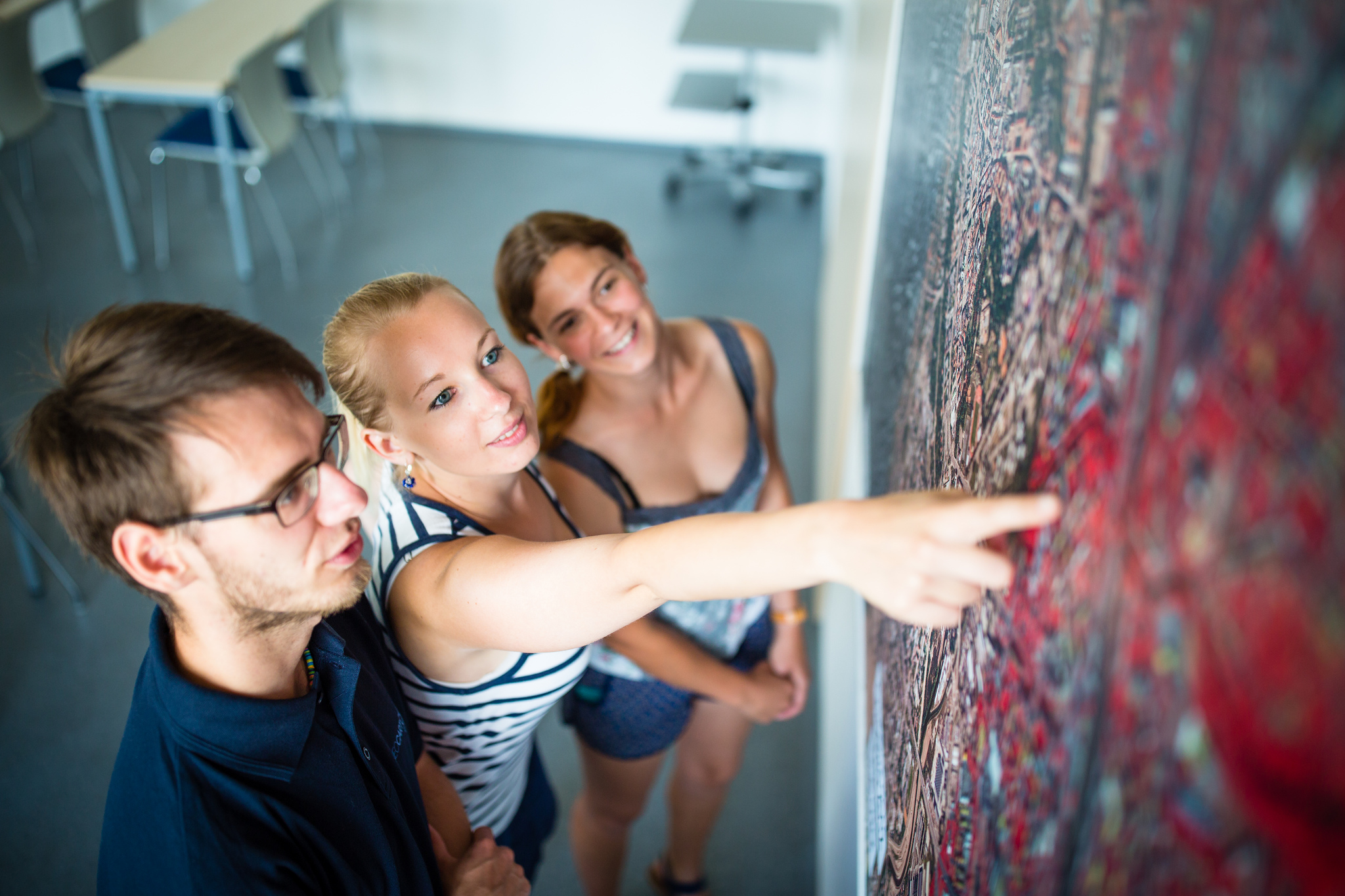
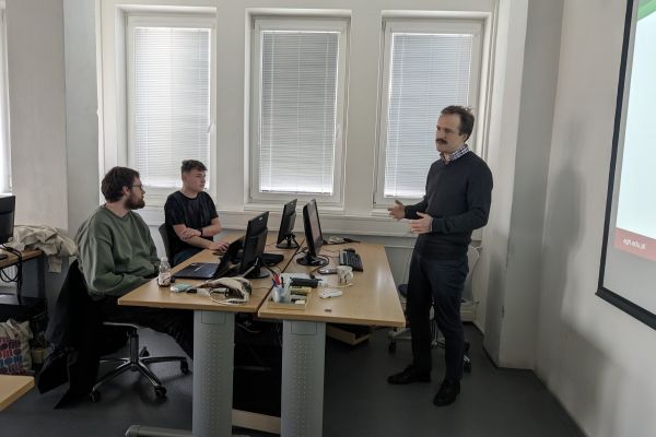
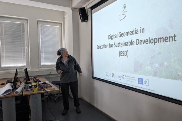
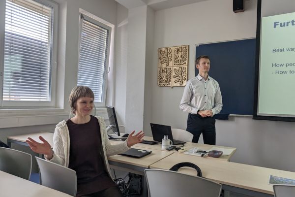
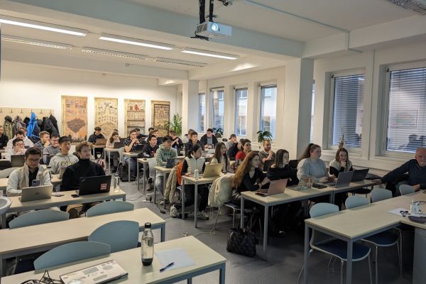
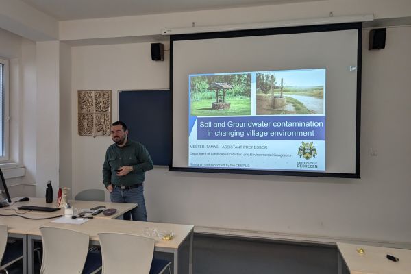
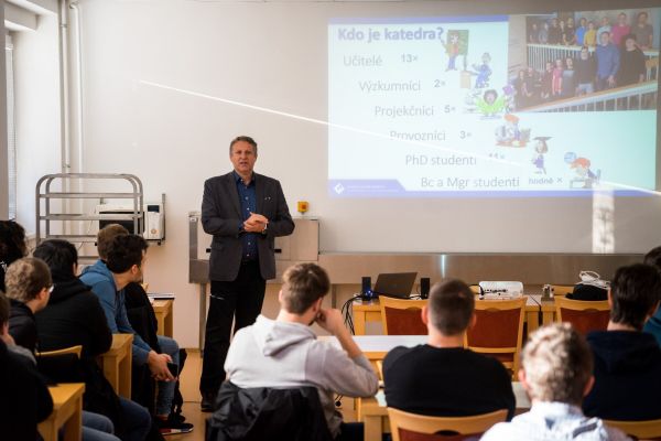
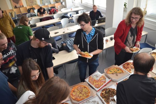
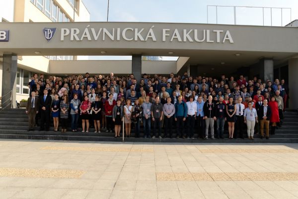
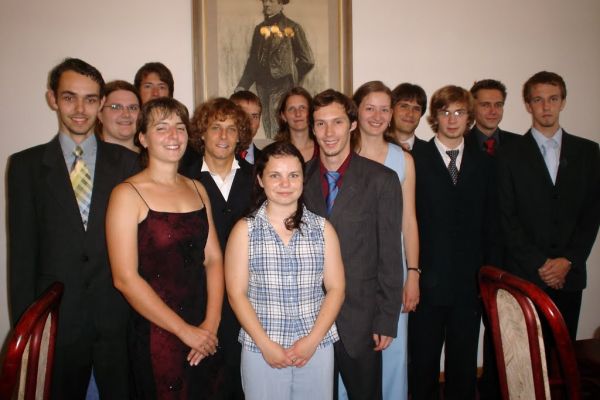
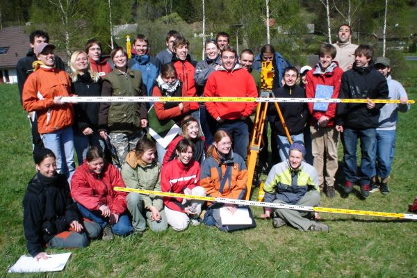
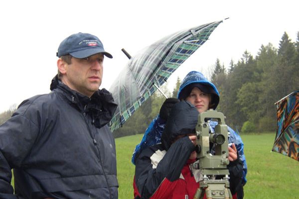
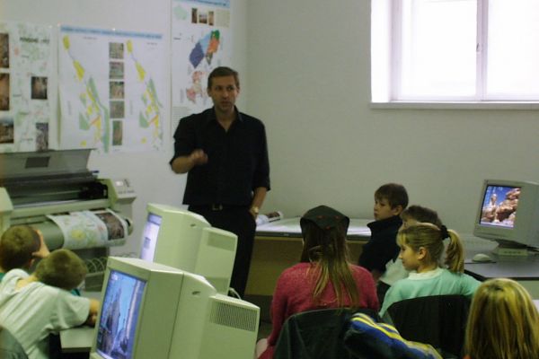
The Department of Geoinformatics is the organizer of international summer schools, which take place regularly at the end of June. Every year the school has a different thematic focus, which is guaranteed by domestic and foreign experts in the given issue.
Bachelor’s degree course Geoinformatics and cartography consist of 6 terms (three years of study) and graduated students have skills in the fields of geoinformatics, geoinformation technology and cartography.
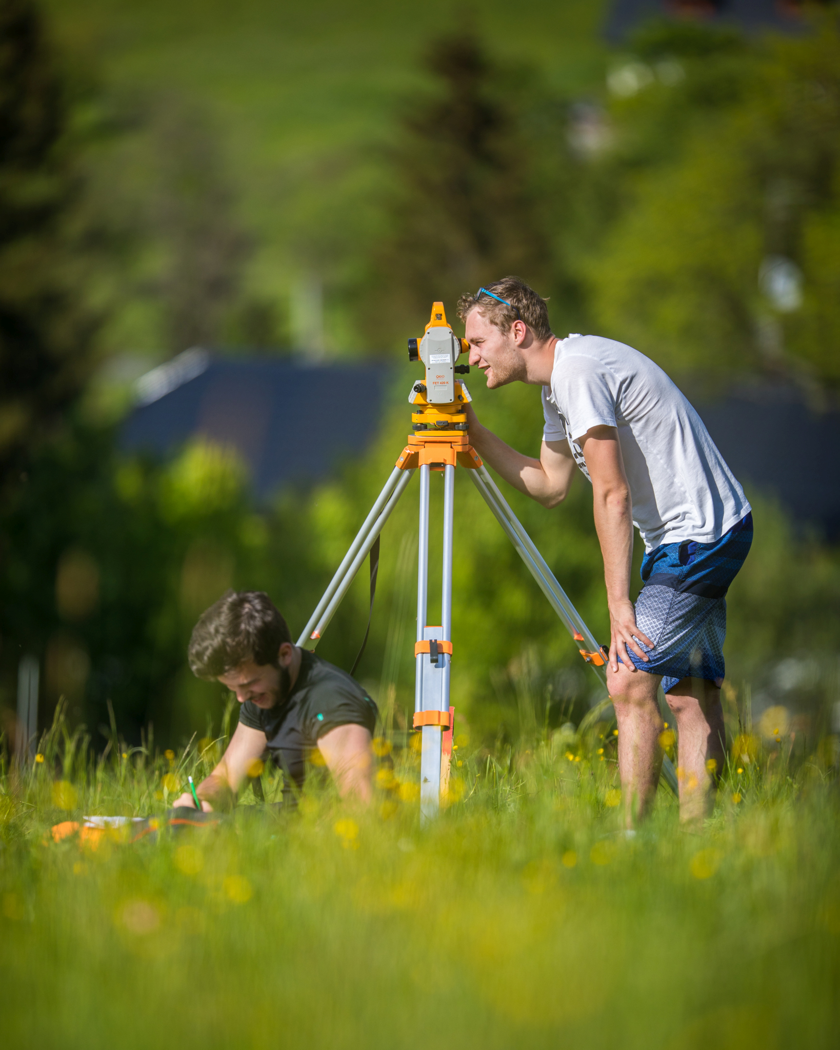
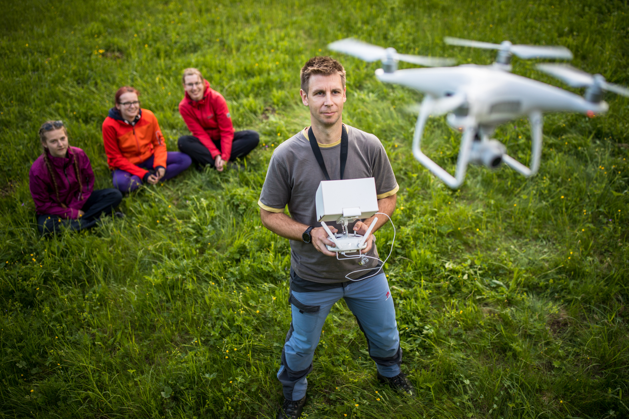
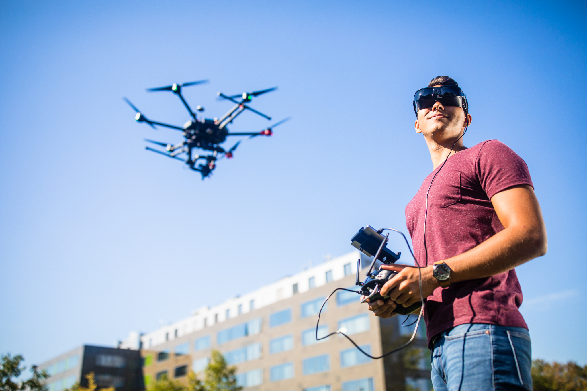
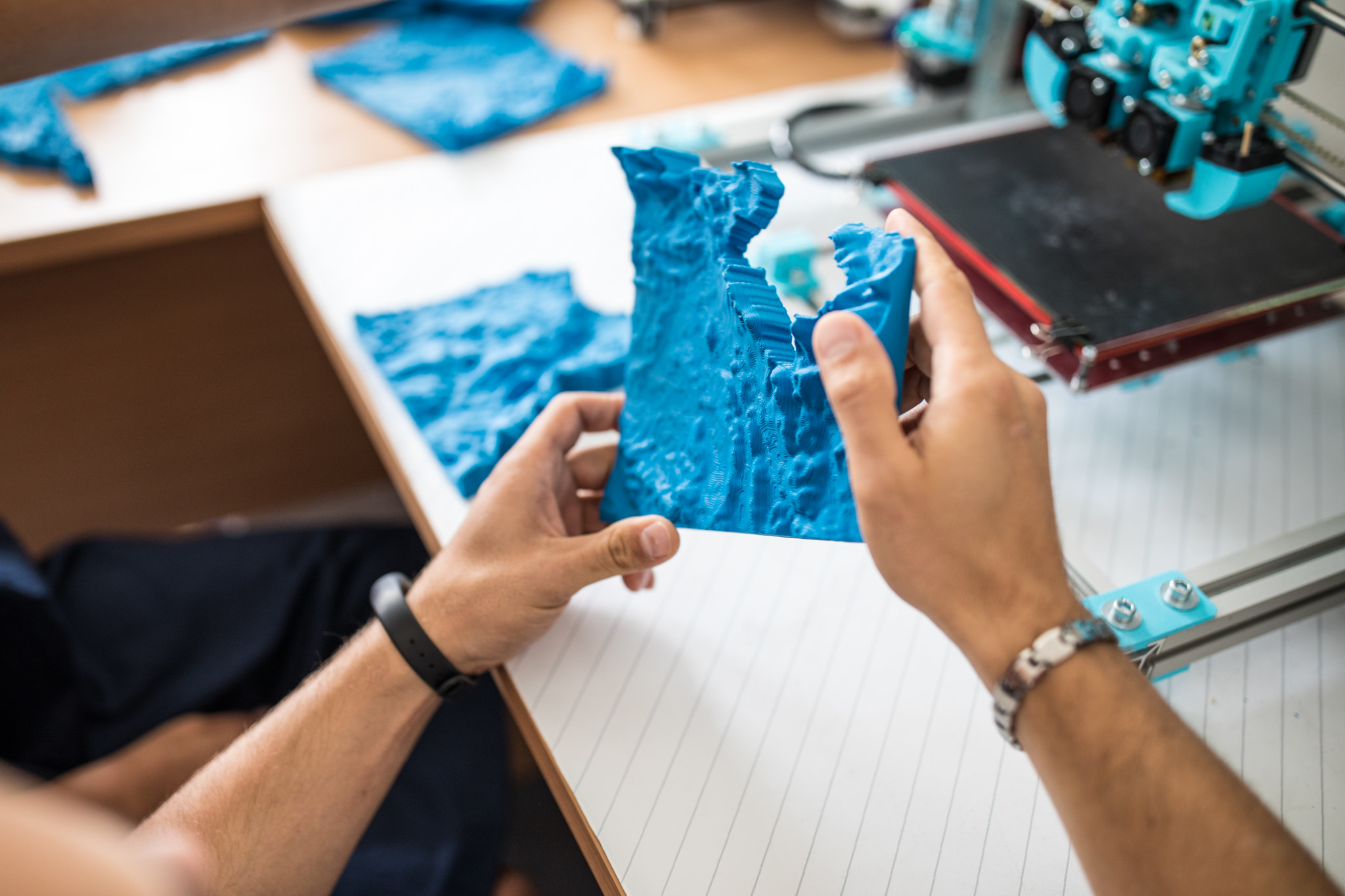
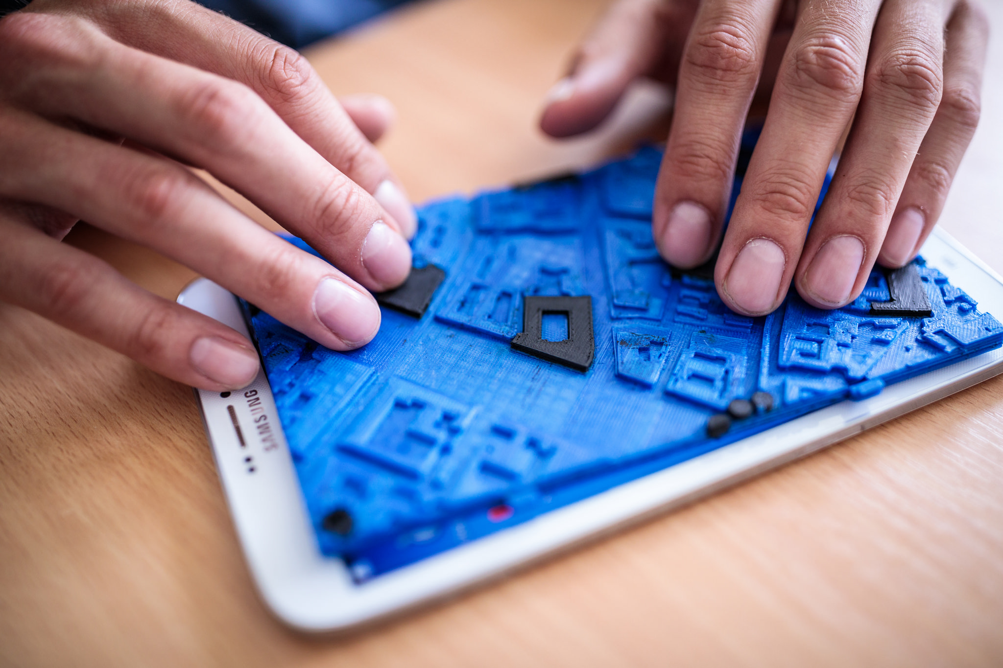
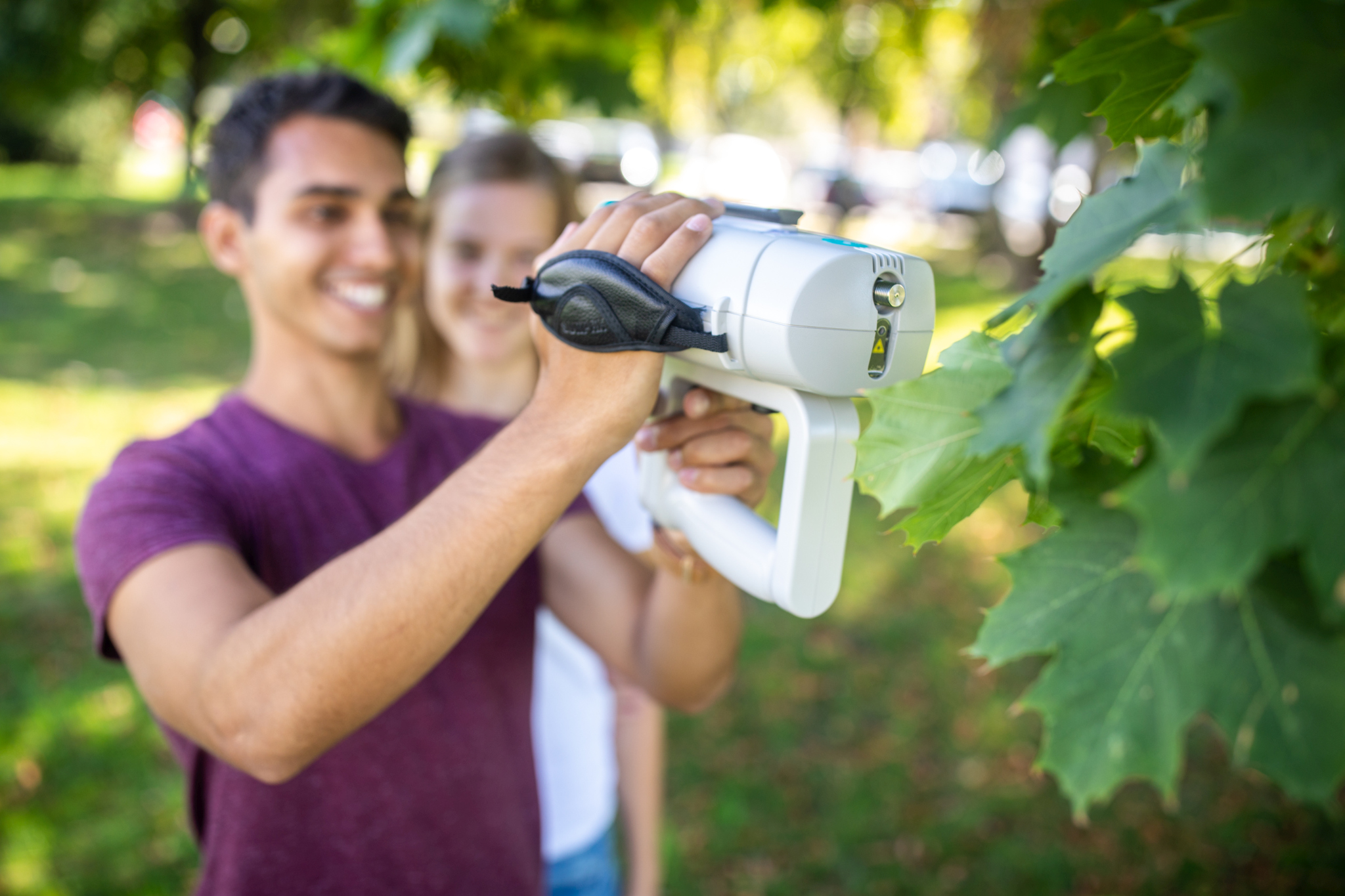
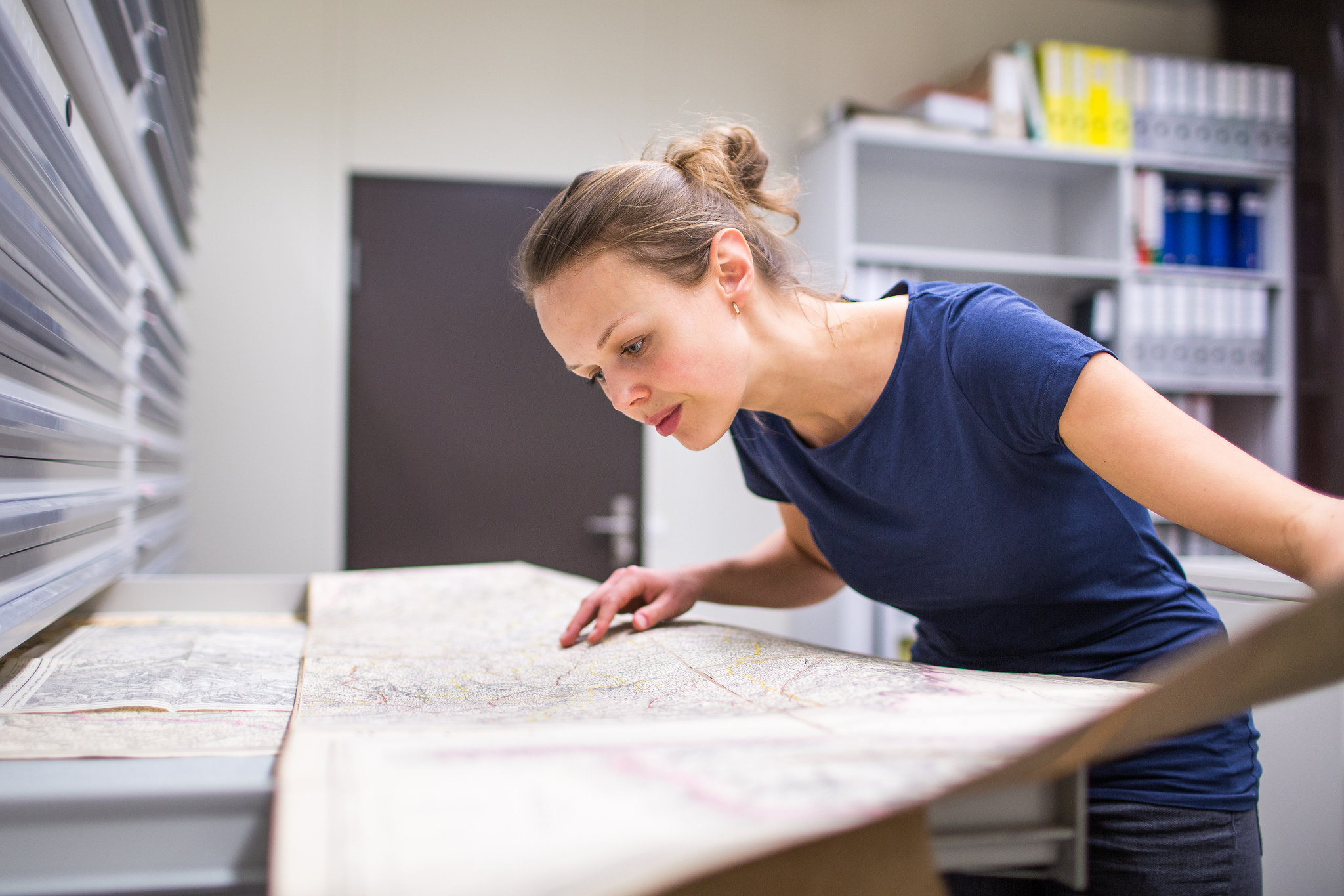
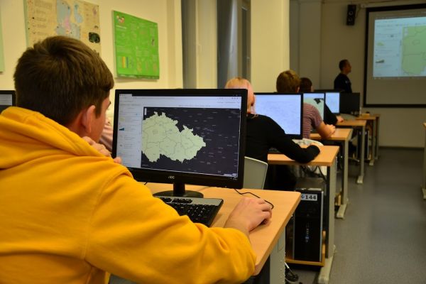
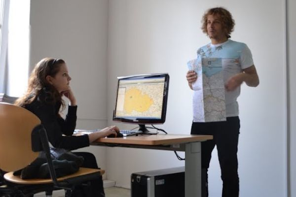
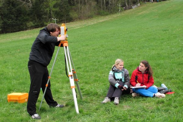
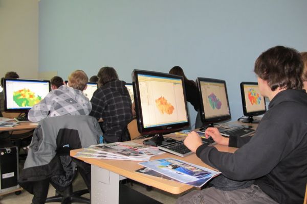
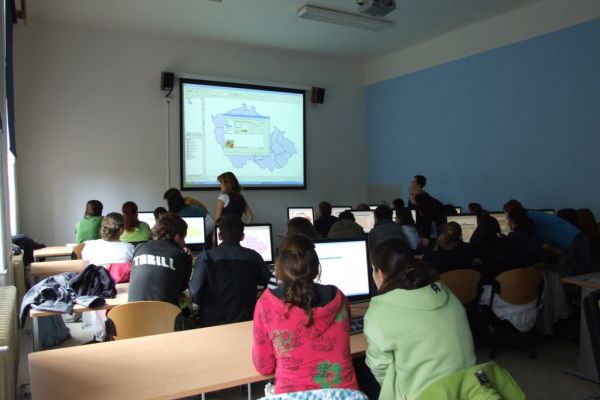
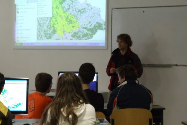
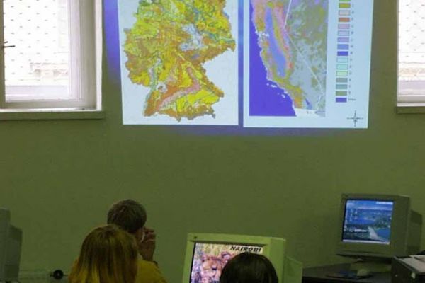
In geoinformatics are students educated in the basics of digital representation of reality, geoinformation technologies of geographic information systems (GIS), remote sensing, global positioning systems (GPS), geostatistics, computer cartography and its applications in geographical problems. A geographical part of the study is focused on various branches of geography (climatology, hydrology etc.) and the methods of study of the landscape sphere. An integral part of education is cartography and its use in geoinformatics, as well as geography.
The study plan is taught in the Czech language, selected courses are provided also in English for exchange students.
The main aim of the study is to prepare university-educated geoinformatics with a brief overview of the fields of geoinformation technology. Graduated students are able to use the potential of geoinformation technologies in various branches of geography. University education develops the independence and individual creativeness of students. The study plan is focused on taking advance in the practice. During working out of semester practice students use knowledge from lectures and their practical skills.
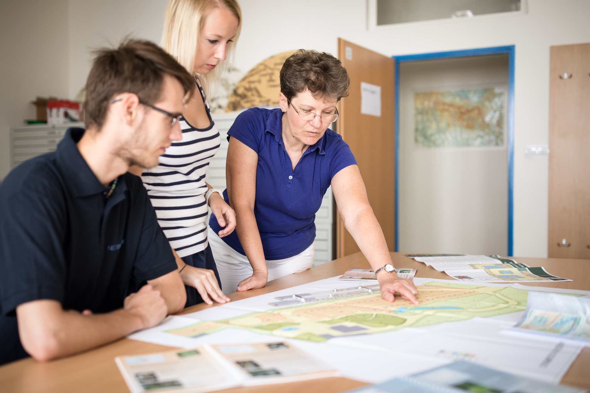
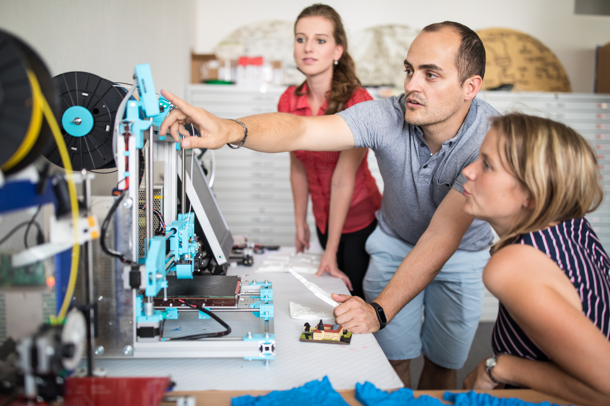
Graduates are able to work with GIS software, write documentation and partly participate in research and development activities in common geographical problematic using geographic geoinformation technology. During the study, students acquire theoretical knowledge and skills in geoinformatics and geographical disciplines. Students become familiar with the most modern software products and will receive basic knowledge of computer and mathematical discipline, the theoretical basis of informatics, programming and information systems. Students are also experienced in the implementation of the software project.
The highlight of the study is working out of a diploma thesis. The student demonstrates the ability to work independently and professionally to apply the knowledge and skills gained during the study.
Study course Geoinformatics enables students to continue improving the knowledge and skills of bachelor study Geoinformatics and geography in areas of geoinformatics, geoinformation technology and its applications in geosciences.
In a follow-up study, students learn the theoretical approaches in geoinformation technology (GIT trends in modelling of GIS, the state information policy) and the theoretical parts of cartographic disciplines (stylistic of cartographic works, atlas and web cartography). On the other hand, gained theoretical information they used for practical applications in the fields of applied geoinformatics (geoinformatics in the physical and socio-economic geography, geology, environment and other fields such as agriculture and forestry, not least in the modelling of natural hazards and landscape planning). In the study of geography, the emphasis is on further study of geographical sub-disciplines and their methods of the study landscape sphere.
The study plan is taught in the Czech language, selected courses are provided also in English for exchange students.
Aim of the study
The aim is to prepare university-educated geoinformatics who have an overview of geoinformation technology and can use them in the sub-disciplines of geography. More theoretical knowledge is connected with practical skills in the solution of term projects. A study develops separate thinking and a creative approach in the solution of projects. The learning plan is focusing on items that are most popular in practice.
A master thesis is the peak of the study. Here student demonstrates the ability to work independently and professionally and the ability to apply theoretical and practical knowledge and skills gained during the study.
After the second phase of studies, students are able to realize operational, documentation, as well as research and development activities, including solving problems with the use of geographic geoinformation technology.
Doctoral study programme Geography – specialization Geoinformatics and Cartography is focused on main theoretical disciplines in various branches of geoinformatics and cartography (informatics, database systems, mathematical analysis, geostatistics, modelling, etc.).
The themes of the doctoral thesis include questions of application of geoinformatics technologies (GIS, remote sensing, GPS, computer cartography), theoretical aspects of cartographic semiotics in analogue and digital cartographic products and aspects of atlas production.
Aim of study
The main aim of the doctoral study is to prepare highly qualified scientists for expert and scientific work in several specializations of geoinformatics and cartography.
prof. Dr. Vít Voženílek, Palacky University Olomouc – chair
assoc. prof. Dr. Vilém Pechanec, Palacky University Olomouc
assoc. prof. Dr. Zdena Dobešová, Palacky University Olomouc
assoc. prof. Dr. Jan Burian, Palacky University Olomouc
prof. Dr. Radim Bělohlávek, Palacky University Olomouc
prof. Dr. Karel Hron, Palacky University Olomouc
prof. Dr. Radomír Halaš, Palacky University Olomouc
prof. Dr. Ján Tuček, Technical University Zvolen
prof. Dr. Jiří Horák, VSB-Technical University Ostrava
prof. Dr. Petr Kubíček, Masaryk University, Brno
prof. Dr. Václev Talhofer, University of Defence, Brno
prof. Dr. Jakub Langhammer, Charles University, Prague
prof. Dr. Jaroslav Hofierka, University of Košice
Doctoral thesis
Prof. Dr. Vít VOŽENÍLEK
Managing diverse data sources for complex visualization of urban areas
The thesis aim is to identify all data sources of the selected urban area, to integrate its data in the most suitable environment for remote data management and to prepare them for all-embracing visualization. The thesis will result in innovative knowledge about data management for comprehensive cartographic production. The main outputs will consist of the analysis of data sources, data model, templates for cartographic visualization and map outputs in printed and digital form.
Assoc. Prof. Dr. Zdena DOBEŠOVÁ
Spatial evaluation of walkability
The structure and layout of the urban environment significantly affect the walkability of the population. The automatic processing of spatial data in GIS enables the assessment of the level of walkability. Different views and possibilities of automatic spatial data processing will be the aim of the dissertation research.
Visual programming for spatial data processing
Visual programming in GIS is a straightforward method of designing spatial data processing workflows in a graphical form. The aim of the work is a research of cognition and functional aspects of visual languages. Improvements in graphical notation and functionality of visual languages have the potential for wider usability of workflows in GIS.
Assoc. Prof. Dr. Jaroslav BURIAN
Urban Simulation Models and their Applications in Spatial Planning
The aim of this thesis is to explore the possibilities of the application of selected urban simulation models in spatial planning. The work will focus mainly on selected microsimulation model(s) enabling prediction of selected aspects of urban systems (e.g. land prices, jobs, household distribution or population movement). A significant part of the work will be devoted to the preparation of suitable datasets that are difficult to obtain in many countries or are available in insufficient detail. Advanced possibilities of spatial data collection and processing including aggregation and disaggregation procedures will be used for this purpose. With respect to the selected model(s) and the selected area, several case studies will be conducted to elaborate on the possibilities of the application of micro-simulation modeling in spatial planning.
Spatial continuity of statistical data in cross-border areas
The aim of this thesis is to focus on the spatial continuity of selected social and economic phenomena in cross-border areas. The work will focus mainly on the identification and analysis of spatial patterns using advanced statistical and geoinformation methods. For this purpose, a tool (e.g. script, model, extension) will be created to allow for automatic evaluation of continuity, clusters, differences and spatial patterns. An important part of the work will be the selection and processing of appropriate datasets, which vary from country to country in detail, timeliness, method of processing and their availability. The work will be solved with an emphasis on the Czech borderland with the potential of transfer of acquired knowledge and all cross-border areas in Europe.
Study plans and list of courses
The study is carried out by individual study plan, which compiles trainer and approves the Specialist Board. The study (see Dean’s directive FS UP) consists of 8+4 courses and examination of the English language in the credit system (240 credits for whole doctoral study). Reports on professional seminars and conferences, publications and preparing a dissertation are expected. The study is finished by the state examination and a doctoral thesis defence.
The Department of Geoinformatics boasts extensive experience in educating international students. Every semester, Palacký University warmly welcomes hundreds of foreign exchange students, many of whom pursue studies within our department.
For research & staff mobility, please contact the department mobility coordinator directly. The rest of this website mostly focuses on study opportunities.
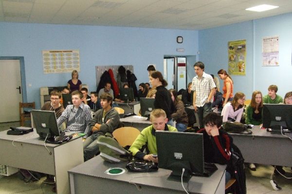
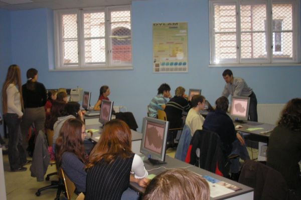
At the Department of Geoinformatics (KGI), we offer approximately 10 courses each semester tailored for ERASMUS+ students, all delivered in English. Depending on enrollment numbers, some courses adopt an individualized teaching approach. Additionally, students have the opportunity to enroll in courses offered by other departments within the faculty, such as the Department of Development and Environmental Studies (MRS), the Department of Geography (KGG), and the Department of Geology (KGE).
Each semester, two courses designed especially for incoming Erasmus students are provided at our department: Geoinformatics (KGI/GI) and New Issues of Geosciences (KGI/GINEW). They both provide lessons from experts in various topics in the field of GIS & geovisualization. Beside these two general, each semester offers specific courses listed below which are also suitable for English speaking students. In these courses, you will typically either join our Czech student group with instructions provided in both languages, or you will join our CDE students (courses starting KGI/XG… in English), or the lectors will give you individual lessons and assignments.
In some rare circumstances, some of the listed courses might not be provided due to technical/organizational issues. In such cases, alternative courses would be recommended to you.
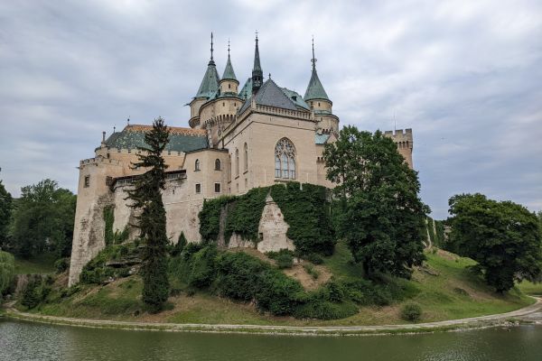
The city of Olomouc is a beautiful historical and cultural city. It is located in flat lands of the Central Moravia region on the Morava River. The city has excellent connectivity with the capital city of Prague and direct connections with other nearby international airports (Vienna, Katowice, Kraków, Bratislava). There are also direct trains available for exploring the surrounding natural landscapes and mountains of Moravia and Slovakia.
The climatehere is typically Central European, characterised by four distinct seasons. The summer is warm and mostly sunny with typical temperatures of 25–30 °C. At the end of September, it slowly switches into a colourful and sometimes foggy autumn season, followed by a gentle winter. Down there in the city, the temperatures mostly stay around 0 °C and snow occurs there occasionally. However, temporarily, temperatures may fall below zero, and in the mountainous regions around, you may enjoy skiing and winter activities. The spring is characterised by frequent weather changes, where warm, sunny days are followed by rainy seasons, but it is definitely worth exploring the fresh, green colour and herbs found in the nearby forests.
There are numerous grocery shops, supermarkets, and shopping malls in the city, as well as many restaurants, cafes, and other services. Almost everywhere, it is possible to pay with your credit card, and there are also many ATMs where you can withdraw cash.
ERASMUS+ Courses offered by the Department of Geoinformatics (KGI)
Our department has a list of bilateral Erasmus+ agreements with multiple partner institutions across Europe. This offers the possibility of visiting us for semestral study internships, teaching or training staff mobility.
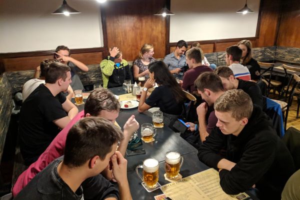
We also offer room for incoming short-term students and colleagues from CEEPUS partner institutions. At our department, we may offer you an opportunity to present your research, show you our laboratories, share knowledge, skills, sources, etc. Each incoming guest will be provided with a seating place in one of our offices with internet connection and other necessary equipment according to further arrangements. During your stay, you will become a member of our GIS family, and we will do our best to ensure you enjoy your time spent in the city of Olomouc.
Používáme cookies k optimalizaci našich webových stránek a našich služeb.
Funkční
Vždy aktivní
Technické uložení nebo přístup je nezbytně nutný pro legitimní účel umožnění použití konkrétní služby, kterou si odběratel nebo uživatel výslovně vyžádal, nebo pouze za účelem provedení přenosu sdělení prostřednictvím sítě elektronických komunikací.
Předvolby
Technické uložení nebo přístup je nezbytný pro legitimní účel ukládání preferencí, které nejsou požadovány odběratelem nebo uživatelem.
Statistiky
Technické uložení nebo přístup, který se používá výhradně pro statistické účely.Technické uložení nebo přístup, který se používá výhradně pro anonymní statistické účely. Bez předvolání, dobrovolného plnění ze strany vašeho Poskytovatele internetových služeb nebo dalších záznamů od třetí strany nelze informace, uložené nebo získané pouze pro tento účel, obvykle použít k vaší identifikaci.
Marketing
Technické uložení nebo přístup je nutný k vytvoření uživatelských profilů za účelem zasílání reklamy nebo sledování uživatele na webových stránkách nebo několika webových stránkách pro podobné marketingové účely.