CDE Joint Master
Copernicus Master in Digital Earth
The two year full-time integrated Erasmus Mundus Joint Master Programme aims at qualifying individuals to lead initiatives, projects and institutions translating Copernicus services into management decisions within a broader Digital Earth vision.
Study geovisualization in Olomouc
Copernicus Master in Digital Earth is an international multi-partner Erasmus Mundus Joint Master programme. In addition to studying for the first academic year at Paris-Lodron University Salzburg (PLUS) and the second year at the selected specialization partner, University of South Brittany (UBS) or Palacky University Olomouc (UPOL), students are exposed to further experiences aimed at integrating the student body across partners as well as offering opportunities to connect with worldwide regional specifics through involvement with associated partners, in the form of internships/work placements, thesis mobility, and participation in short intensive programmes.
Study Path / Specialization Tracks
One starting place for all students aims to establish a strong common denominator for the first two semesters before continuing towards a specialization track completed at one of the designated partner universities. At the time of application for admission, candidates select and prioritize at least one specialization track.
Joint Study
Student cohorts will meet each semester for joint short intensive programmes (summer schools or blended intensive programme), excursions and the Orientation Project, guaranteeing an integrated experience. Students may move to another mobility partner in the final semester. The study programme consists of a compulsory work placement/internship, at any organization or at an associated partner.
Academic Degree
This English language Master of Science programme accepts outstanding candidates towards double degrees. As a joint study programme offered by at least two higher education institutions the student receives upon successful completion of the study programme in accordance with the CDE curriculum a degree certificate from the recpective specialization track institutions and the Paris-Lodron University Salzburg.
List of courses in Olomouc
Module descriptions are outlined in the curriculum, course descriptions are available in PLUSonline, the university’s learning management system.
Geovisualization
- Systematic Geovisualisation
- Advanced Methods of Geovisualisation
- Design in Geovisualisation
Geocommunication
- Cognitive Cartography
- Web Cartography
Electives
- 3D Visualisation
- Cartographic Project
- Desktop Publishing in Cartography
Previous intakes / editions
From 2019 UPOL hosting students for geovisualization tracs. It began with intakes and continuing with editions in CDE 2.0
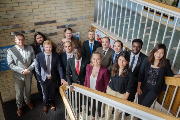
Intake 1
- ADE Bismark: VISUALIZATION OF GEOGRAPHIC DATA USING GOOGLE CLOUD PLATFORM
- DE GOROSTIZAGA Sayana: MAPPING MANGROVE FORESTS: PROCESSING AND VISUALIZATION OF MULTI-SENSOR EARTH OBSERVATION DATA FOR THE COLOMBIAN PACIFIC COAST
- JIMOH Sheriff: Mapping and monitoring slums using geoinformation technologies
- LUZ Leonard: Designing a Thematic Atlas on the Geospatial Impact of COVID-19
- NOOR SULTAN Minha: Development of a georeferenced eye-movement data creation tool for interactive webmaps
- RIZCANOFANA Rochamukti: GIS-BASED SOLAR PHOTOVOLTAIC POTENTIAL MODELLING IN THE URBAN AREA
- SCHAFER Nelson: Map Animation of Shipping Traffic in Adobe After Effects from GIS data
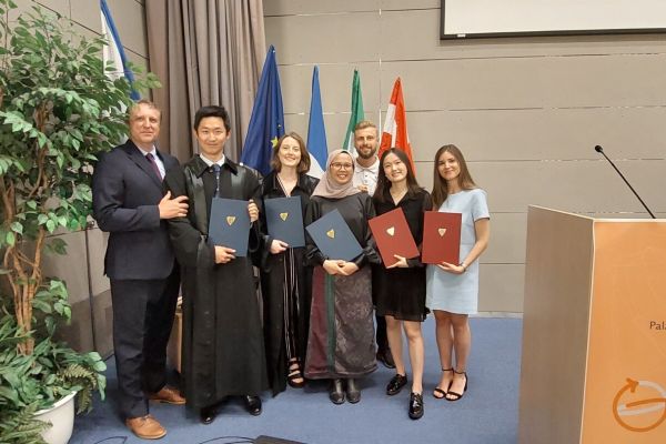
Intake 2
- Deligant Anatole: Digital twins in the context of disaster preparedness: fusion of GIS and game engines
- Christie Ella: ANALYSIS AND GEOVISUALISATION OF BIODIVERSITY MONITORING DATA
- LIU Nianhua: GeoVisualization of Football Players Movement
- Nurul Fatma Zealandia Sarah: IMPROVING SEN2CUBE.AT WEB APPLICATION VISUALIZATION CAPABILITIES
- Porti Suarez Anna: User Evaluation of COVID-19 Dashboards
- Wang Yuan: PORTRAYAL OF LIKELY CLIMATE CHANGE IMPACTS ON BEEKEEPING BASED ON EARTH OBSERVATION DATA
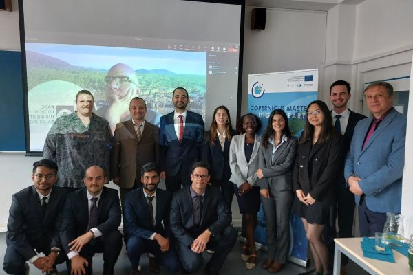
Intake 3
- SUBEDI Sushmita: COPERNICUS DATA IN SUSTINABLE DEVELOPMENT GOALS USING IMAGE MAPS
- KURBANOVA Guldariya: Creating a virtual geographic learning environment and its user assessment
- DELGADO BALAGUERA Sofia Margarita: Mapping and visualising lava flows of the Fagradalsfjall volcano in Iceland
- SOLPIEVA Zhibek: E-LEARNING PLATFORM FOR WEB-CARTOGRAPHY
- Ojha Rabin: Visualization of multi temporal information from Semantic EO data cube
- POOLADSAZ Kiarash: Monitoring the Evolution of the Kaiwhata Landslide in New Zealand using Object-based Image Analysis and Sentinel-2 Time Series
- ŠRAMO Benjamín: Automation of Processing GNSS Track Records for Designing Intensity Maps
- PANDEY Ravi: ONLINE VISUALIZATION OF HIKING ACTIVITIES
- LETARU Lydia: COGNITIVE ASSESSMENT OF A WEB MAP DEPICTING ACCESS TO UTILITIES IN INFORMAL SETTLEMENTS OF KAMPALA
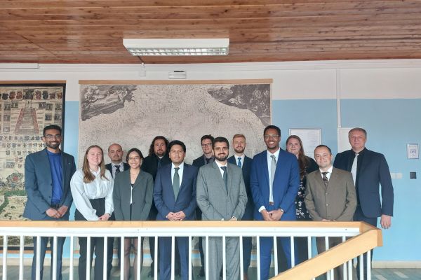
Intake 4
- BILAL Muhammad: Using Geotagged Photos to Design Etosha National Park Map Set
- CAMACHO HURTADO Felipe:3D VISUALIZATION AND ANALYSIS OF PATAGONIAN GLACIERS CHANGES USING EARTH OBSERVATION DATA
- EKANAYAKA Mudiyanselage Ruchira Dulanjith Ekanayaka: AUTOMATED ROOF GENERATION FOR THE CITY OF OLOMOUC USING ESRI CITYENGINE
- GARCIA BOADAS Emma: MAPPING OF WATER QUALITY DYNAMICS DERIVED FROM HYPERSPECTRAL EARTH OBSERVATION DATA FOR THE TAM GIANG LAGOON IN CENTRAL VIETNAM/a>
- HENRY Jevaughn Leighton: Multicolour 3D-Printed Geovisualisation
- KAZEEM-JIMOH Opeyemi Adeshewa: ANALYSIS AND 3D VISUALISATION OF WILDFIRES USING EARTH OBSERVATION DATA
- MULDER Madeline Ellen: Tactile maps presenting SDG 6: Clean water and sanitation
- PANNOON Parinda: Implementation of Artificial Intelligence for Creating Maps
