ANALYSIS AND GEOVISUALISATION OF BIODIVERSITY MONITORING DATA
Ella Christie Copernicus Masters in Digital Earth
IntroductionElla Christie - EMCDE Program
Ella Christie Copernicus Masters in Digital Earth
Introduction
National parks provide a free and accessible space for the public to connect with nature. In return, an increased number of visitors brings more attention to the park
which can increase funding opportunities, support for protection, and a source of income from amenities provided (Yang and Duan, 2020; Mayer, 2014). Finding new
and innovative methods of engaging the public and garnering interest about national parks and the wildlife and ecosystems within them is crucial to their upkeep
(Weiler, Moore and Moyle, 2013).
National parks play a vital role in environmental education, teaching visitors about local flora, fauna, and ecosystems. Education is a powerful tool and critical in spreading
the awareness of conservation issues on a local to global scale. In an ever-increasingly technological world, utilising virtual environments to increase knowledge
and awareness
of national parks is highly useful. This enables a larger potential audience to be reached and engage the public, encouraging them to visit in person.
Providing environmental education
online also means that even people who are unable to visit a national park in person are able to still participate and be involved.
Biodiversity and Ecosystem data can be highly voluminous and complex.This type of data must be condensed and represented in a manner that is engaging,
comprehendible,
and visually pleasing. Geovisualization is a set of tools and methods used in the synthesis, exploration, analysis, and presentation of geospatial data
to visualise data
(Çöltekin, Janetzko, and Fabrikant,2018; Kraak, 2009; Dykes, MacEachren and Kraak, 2005). It has the ability to showcase information that was previously not visible and involves
concepts such as design, interactivity and publishing (Çöltekin, Janetzko, and Fabrikant, 2018).
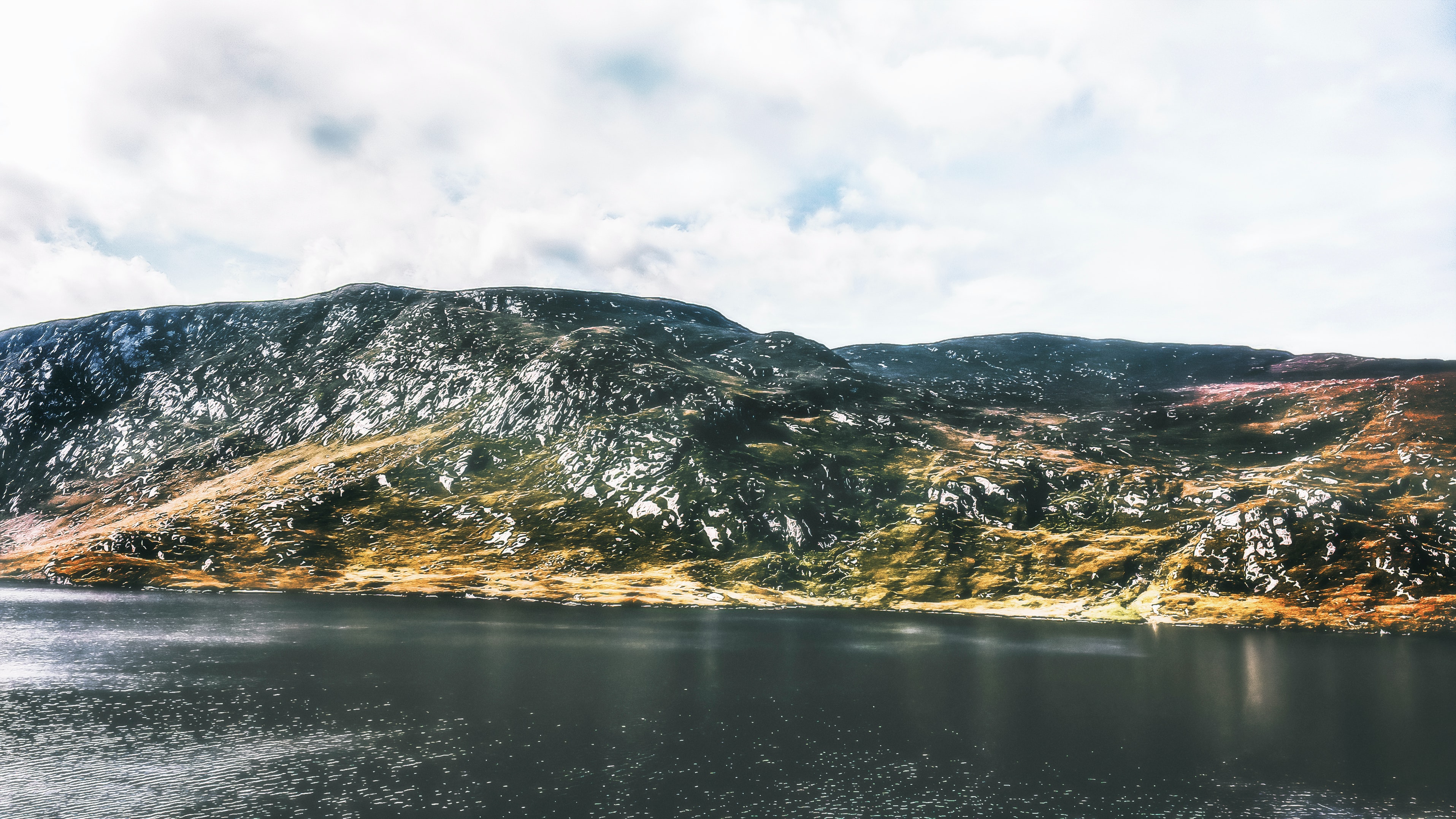
This research conducts an analysis of biodiversity data, using geovisualization methods to create a web-based educational platform for potential visitors
for Glenveagh National Park, Ireland. The platform will contain a series of static and interactive maps as well as educational activities and resources
aimed at school aged children. With technology playing an ever-growing role in day to day life, an online platform to conduct environmental outreach and education
has the potential to engage with a wider network of potential visitors and offer a virtual alternative to environmental education for those who are not able to do so
in person. The end-product will be user-tested to evaluate the effectiveness of using geovisualization techniques to communicate biodiversity information.