Results
This Section will provide a summary of the created geovisualizations and outputs of the diploma thesis
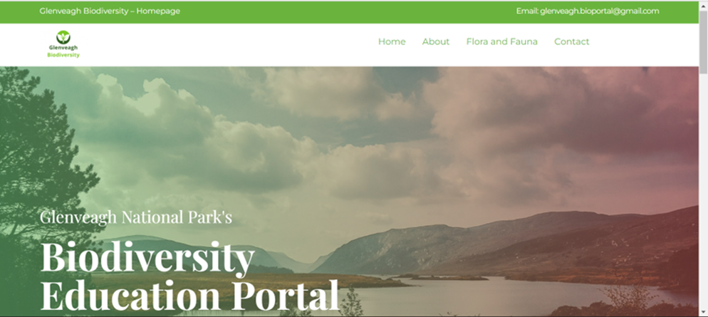
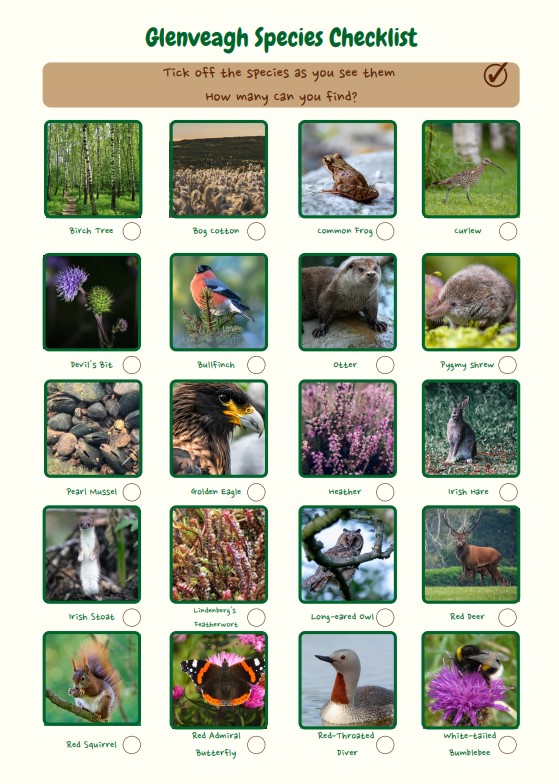
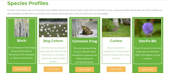
The final output of this diploma thesis was an educational web-platform containing interactive features using geovisualization techniques informing the users about local biodiversity and selected geo-aspects. A well-structured, simple to navigate, interactive and highly visual website was created to host the information and resources created for this project. The website and its accompanying resources were the main output of this thesis project. 20 species profiles and 22 children’s activities and learning resources, a Glenveagh National Park StoryMap presentation, six interactive maps, and 20 static maps were created for this project.
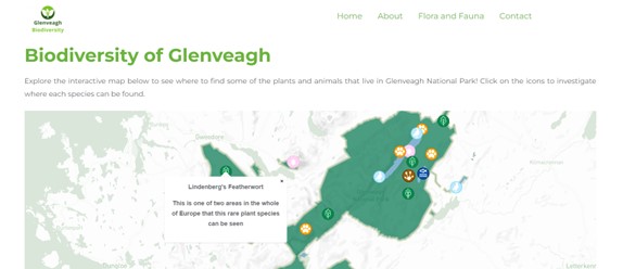
Interactive Web Maps
The interactive web maps were one of the key features of the web platform. They enabled the user to explore biodiversity data and interesting geographical and tourist features in Glenveagh National Park, with popups enabling the user to click on various features to obtain further information. Customized symbology was created for these maps to increase the quality of design and appearance of the maps.
Educational Resources
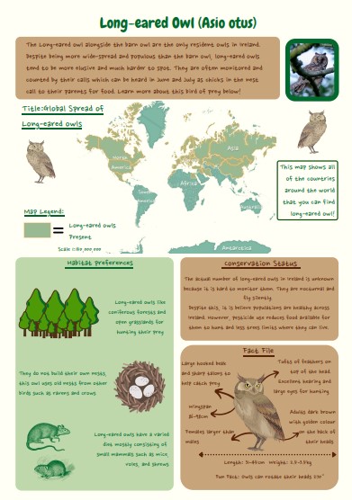
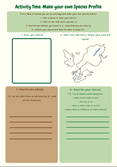
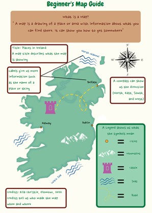
One of the key concepts of this thesis project was creating a range of educational resources to teach school age children about their local biodiversity and associated geo-aspects. The children’s activities were designed and created to a high visual standard, using Ireland’s national school curriculum to determine the level of skill of the intended age group and what they should be learning about. The species profiles were engaging and informative, using a uniform layout and colour scheme using natural colours to create and association with the environment. Each of the profiles contained a static map of the species global distribution and utilised knowledge gained from the analysis stage to document habitat preferences and where each species could be located.
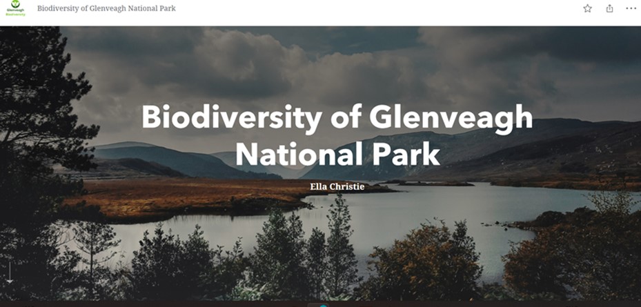
StoryMap
The StoryMap presentation target group was potential park visitors, designed to inform the viewer a more detailed insight into Glenveagh National Park and its history, ecosystems and biodiversity. The goal of this presentation was using geovisualization methods through a series of interactive maps to communicate more detailed spatial and biodiversity information to the user.