Digital twins in the context of disaster preparedness: fusion of GIS and game engines
Author: Anatole DELIGANT
Supervisor: RNDr. Jan BRUS, Ph.D.
Co-supervisor: Assoc. Prof. Dr. Dirk TIEDE
OBJECTIVES
The goal of this diploma thesis is to analyse, test, and describe the integration between GIS and game engines for digital twins in the context of disaster preparedness. The subgoals are implementing data integration methods applied to a relevant thematic area, developing an XR visualisation framework, and evaluating both its practical implementation and alternatives. By leveraging new and mature technologies to produce an XR visualisation system capable of depicting natural hazards such as floods, users will be able to explore the impacts on cities according to various scenarios in an immersive manner. At the same time, developers and experts will be able to build upon the concepts outlined in his work.
METHODOLOGY
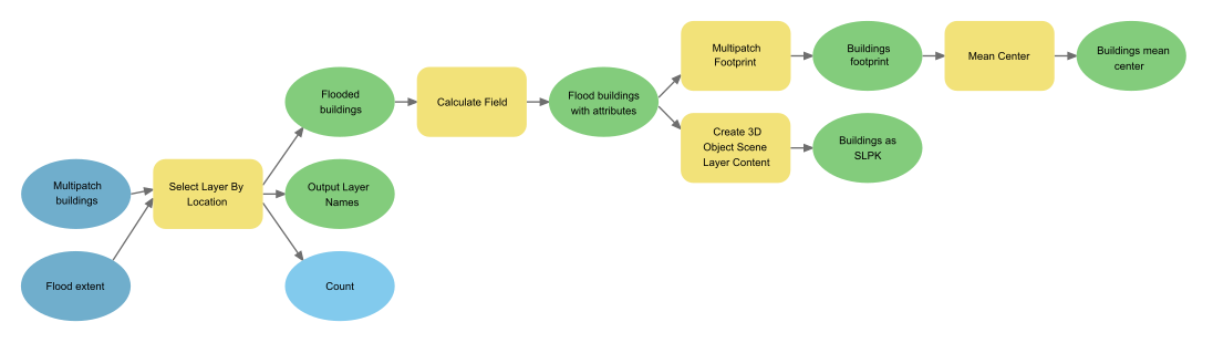
GIS and game engine integration is a relatively new field, especially within the context of digital twins. Defining the scope of the work was necessary to build upon previous research efforts and existing tools in order to achieve an output of interest to future developers. With this in mind, about two-thirds of the work focused on exploring existing integration solutions and implementing one of them, with disaster preparedness as a selected use-case, while the last third is evaluating this implementation and conceptual aspect. Data collection and processing was made easy by the availability of all required data for Prague and Brno in a free and open manner. Some GIS work was required to project and prepare them for integration, including in a semi-automated manner using the ArcGIS Model Builder. Once the data was ready, it was integrated within Unity, starting with a single data type before expanding it to all.
The research question should be approached methodologically. This starts by defining the scope, requirements, inputs, and outputs, along with the available tools and solutions. Since various tools are required, development can be started in parallel until all reach the integration step, at which point the outputs can be horizontally merged. In turns, this leads to the refinement and polishing of the application, so it is ready for the evaluation step.
This work can be conceptually visualised as a table with the software used in the x-axis columns and development steps in the y-axis rows. The columns represent the three main software used for development in an incremental manner that began in parallel: GIS, integration tools, and game engines. Consequently, the project went from the definition step to the development step for all three software, with their work complementing each other, before the evaluation of the final product.
RESULTS
The objectives were to analyse, test and describe the integration between GIS and game engines in the context of digital twins for disaster preparedness. Throughout the research, these goals were explored, providing a detailed explanation of the processes that lead to various relevant findings.
Technical implementation
As the selected integration tool, the ArcGIS Maps SDK for Unity appeared powerful and capable despite its pre-release state and lack of important functionalities. All supported layer types were integrated, including imagery basemap, elevation, and 3D objects scenes. It has a few peculiar characteristics that complexify development in Unity, most importantly the need for high-precision coordinates. With a 1.0 release expected in May 2022, the addition of new features should further increase its capabilities. Developing a VR application in Unity is straightforward, thanks to the detailed documentation available and OpenXR support.
User evaluation
15 participants with a GIS background took part in the questionnaire. The goal of the questionnaire was to analyse the perception of 3D geospatial data in VR, compare it to the perception of 3D data in the web and gather implementation feedback. The main finding is that VR acts as a perception amplifier: if many buildings are affected, this fact will be exaggerated; if few buildings are affected, it will be diminished. Additionally, VR is able to accurately convey subtle relative differences in elevation, however geographic features such as hill can cause bias that is not easily ignored. The most commonly perceived advantage for VR was the viewing angle. Overall, geospatial data is well perceived in game engines through VR.
Alternative methods and tools
Cesium for Unreal is one of the most developed and accessible options. By streaming content into Unreal from the Cesium Ion platform, it supports a variety of open formats and can scale to the entire globe. However, it is equally limited in terms of interfaces, with no easy integration of Esri formats or the obligation to host the content on Cesium Ion, a commercial platform. Unlike Unity, Unreal Engine offers a georeferencing plugin, otherwise they are pretty similar in the formats they support, asset import pipeline performance, and scalability. The latter is often an issue due to the size of high-resolution and high-coverage models. Godot does a better job in that regard with native support for the streaming-optimised glTF specification, even though it is less accessible than its competitors due to limited documentation.
Discussion
As part of a digital twin system, GIS and game engine integration is a single component, not usable in and of itself. Game engines have made the development of said visualisation accessible to anyone without specialised skills, yet the process of creating a usable application for professional use is complex.
While powerful, both the ArcGIS Maps SDK and Cesium for Unreal have limits to their capability which could prevent the implementation of some use-cases. Relying on them creates a dependency on the company behind them. Their commercial nature means an absence of up-front development costs and an increase in the cost of sustaining the product. Examples of important missing features include support for OGC web services or vector features.
A number of technical limitations were encountered during testing. The Oculus Quest 2 requires setting up a guardian boundary, which didn’t work well as the boundaries were reset in-between participants. It also used Air Link, a functionality allowing it to be linked to a computer without a cable. While the added convenience is of great importance, it was limited by the performance of the router and the battery life was less than two hours.