MAPPING AND MONITORING SLUMS USING GEOINFORMATION TECHNOLOGIES
MENU
INTRODUCTION
OBJECTIVES
METHODOLOGY
STUDY AREA
DATA
SOFTWARE
PROCEDURE
RESULTS
CONCLUSION
DOWNLOAD
CONTACT
WEB APPLICATION
DATA
The following data were employed for this study.
>
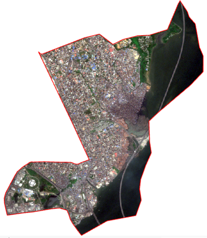
Sentinel-2 Imagery of Lagos Mainland
+
>
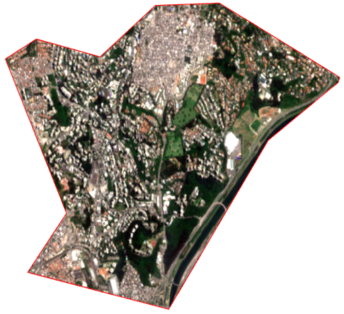
Sentinel-2 Imagery of Vila Andrade
+
>
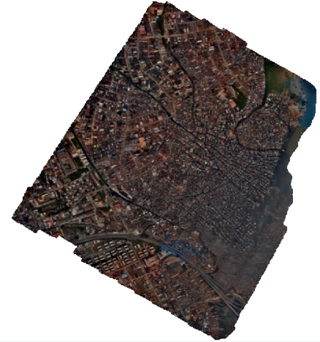
Drone Imagery of Lagos Mainland
+
>
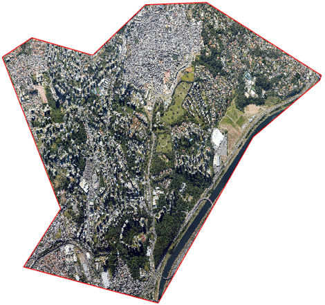
Orthophoto of Vila Andrade
+


