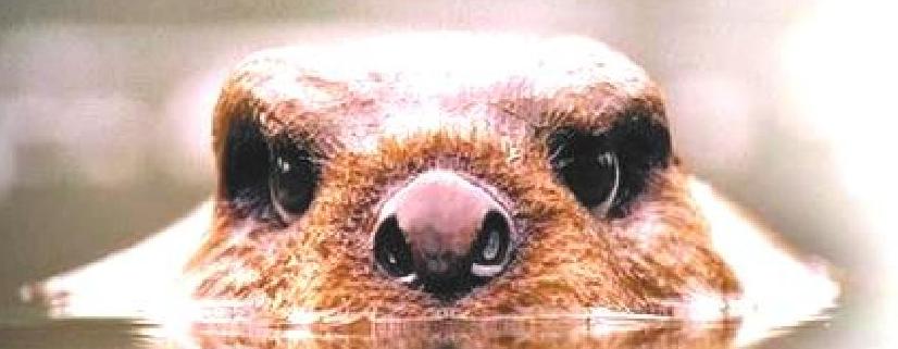
Aim of the thesis called „GIS analysis of new distribution of the
European beaver in the Czech republic“ was to elaborate all avaible data, analog information about location of
settlement (location according to quadrat mapping), to the occurrence of the
beaver in Moravia and Silesia (river basis of Morava a Odra - (27 000 km2).
Data since 80. years of 20. century were transfered into the digital form in
GIS.
Analyses:
o temporal analysis of expansion (point and
square)
o analysis of extent of territorial settlement (in
continuity with the river and land cover)
o division of the rivers according to
ecological characteristics and their settlement by beaver (Government Decree
No.113 as of 29 November 2003 - Salmons´and carps´rivers)
o analysis of the migrational barriers in the
rivers
Diploma work is dividend into three parts. In the first part is intent description beaver style of live. In the second part is about analysis cration. Results are intepretation like tables, graphs and maps. Beaver population in Czech republic is increasing. The possible occurrence is divide like migration, transitive occurrence and permanent occurrence.
In the three part is evaluated simulating the proposed reintroduction of the European beaver to Scotland and Netherlands.
| ÚVOD | CÍL PRÁCE | METODY | ANALÝZY | DISKUSE | ZÁVĚR |