Summary
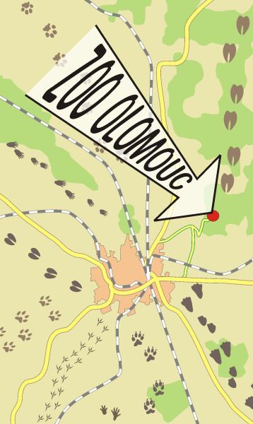
The aim of the bachelor thesis was to create the Orientation plan of ZOO Olomouc.
The plan making itself was preceded by the search in literature and plans of zoological gardens both in the Czech Republic and worldwide, followed by the evaluation of selected plans from the cartographic point of view.
The making of Orientation plan of ZOO Olomouc was based on two sources: a cadastral map provided by the Cadastral Office, and a situation plan provided by the zoo. These documents were updated by measurements by fiberglass band during winter and spring of 2008/2009. The measurement results were processed in ArcMap 9.3 and then exported to .pdf files. The final design of the plan was arranged in CorelDRAW 11 graphic software because of better visualization tools in comparison with the GIS software.
One of the most important parts in the plan making was the creation of the symbols. They were also made in CorelDRAW. The symbols are based on photographs of the particular animals, so they are quite accurate. The coloured version of the symbols was used for the orientation plan version to be implemented in large information tables into the zoo, while the black, silhouette version was used for the plan in paper leaflets.
The bachelor thesis also includes an interactive (clickable) map of the zoo. It is a HTML page with the ThickBox module implemented. After mouse-clicking on the symbols, an information table for each animal appears. The map layout was created from the design of the orientation plan for the paper leaflet. The map functionality was tested in the most common Internet browsers used in the Czech Republic. It is anticipated that the map is to be used for the Internet pages of the zoo under the .eu domain, which are not utilized now. In the future, the interactive map may be extended and used in the planned information kiosks within the zoo premises.