Summary
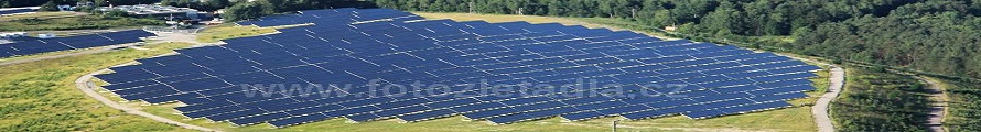
The thesis studies photovoltaic power plants detection from remote sensing data. The aim of the thesis was to design and verify a methodology for creation and updates of photovoltaic power plants database for Olomouc region urban planning with connection to urban analytical data. The methodology was automated into a form of practical tool afterwards. The methodology was designed and automated according to conditions of its future application. For this purpose was used software ArcGIS for Desktop with Spatial Analyst extension, and its tools and functions. Invented methodology was converted into a practical tool in ModelBuilder. The result is practical tool in a form of toolbox with seven models. The tool was tested in a pilot area of Prostějov Region. Resulting outputs are three vector layers. The first layer contains polygons with 26 photovoltaic features, which were detected in the pilot area. Total number of detected objects was 28, so it means detection sufficiency over 92 %. The second layer contains parcels, where power plants are located on. Totally 110 of these parcels were detected with a total area over one square kilometre. The biggest part of these parcels represent parcels of agriculture land (approximately 80 %). The third output layer contains aggregated surfaces of power plants, which represent minimal surface of land occupied by power plants.