Design of experiment for the landslide observation with use of ESRI products
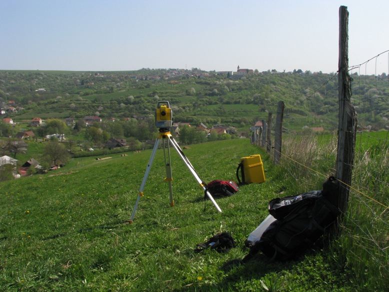
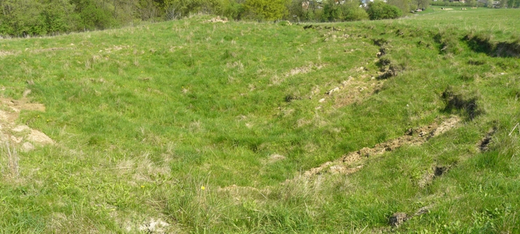
Design of experiments (DOE) is an effective tool for searching optimal strategy or procedure. It is based on properly designed and interpreted experiments. Main field of using DOE traditionally used to be industry and engineering. But DOE can be also used in geoscience e.g. in surveying or evaluation of landscape. Landscape as well as industrial products are influenced by plenty of factors and some of which man can't affect. Measurable outputs of these factors are called responses. Main deal of DOE is to find combination of factors when response is most propitious. The thesis tries to show possibilities of using DOE in surveying process. It is necessary to place measuring points fittingly with a view to effective evaluation. That means right number of points and points characteristics. Design of measuring procedure according to DOE is processed with context of landslides. Simultaneously was solved situation of the real landslide, which was used as an experimental field. There were placed experimental points which were regularly measured. Collected datasets were evaluated and significantly visualized and DRM of landslide was created. ESRI ArcGIS 9.2 software was used for all analysis and graphical accuracy evaluation.


