Results
The applied classification models achieved accuracies between 90% and 97%. Considering the conditions of the region, the Sentinel-2 composite models performed better than expected and were able to map mangrove cover quite accurately. Comparing the two different sensors, without combining them, Sentinel-2 models outperformed the Sentinel-1 model. The Sentinel-1 model was able to classify the mangrove cover, however, it had a higher tendency to misclassify non-mangrove pixels into mangrove pixels, which was reflected in the lower accuracy results.
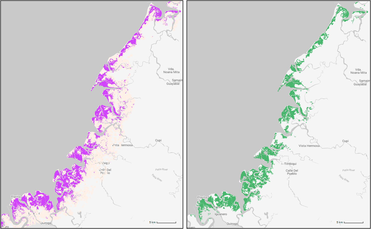
Mangrove cover distribution was mapped for each department for the year 2020. Mangrove forest layers were generated for each of the four departments in the study area (Chocó, Valle del Cauca, Cauca, and Nariño).
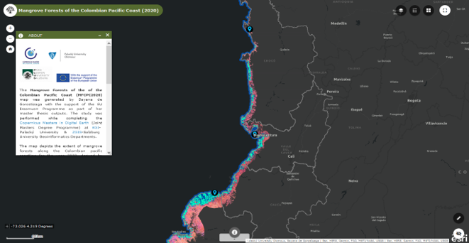
The final web map application contains mangrove classification layers from the year 2020 for the entire Colombian Pacific coast. The application is open to the public and presents a simple user interface for visualizing mangrove extents and distribution across the studied region
Analysis
Acces to the GEE repository containing the scripts used to classify the mangrove cover. A GEE account is required
Visualization
Access to the web map application presenting mangrove cover ditribution along the Colombian Pacific coastline.
Data download
Access to the output products from the classification, the thesis text, and poster