Přeshraniční prostorové databáze
středního měřítka v zájmové oblasti Labské pískovce
Diplomová práce
- Autor: Marek Koňařík marekkonarik@seznam.cz
- Vedoucí: RnDR. Jakub Miřijovský www.geoinformatics.upol.cz
-
Univerzita Palackého Přírodovědecká fakulta Katedra Geoinformatiky Olomouc 2011
-

Summary
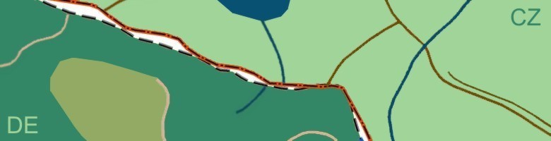
This diploma thesis deals with cross-border geodata conectivity. The main aim of this thesis is to create example cross-border spatial database, which is based on two diffrent datasets – ATKIS on the Geman side of territory and ZABAGED on the Czech side. Both serve as the mostly used spatial base data on either side of the border.
Part of this aim is to create comparative study of bouth these information systems, describe them and find the corresponding objects and attributes, This study will be the important basic document, necessary for developing the union spatial database.
Geodata homogenisation is serious problem because the structure of data models in different states are very various and there are a many others difficulty. Each country has their own IT administration, technology, feature different geographic projections, data formats, geometry (e.g. of the national boundary), languages and most of all semantic meanings of the content.
There are a lot of potential for GI technology, but one of the necesseary next step for further expansion is standartization. The diploma thesis is jointly realised and consulted in cooperation with the National Park Czech Switzerland.