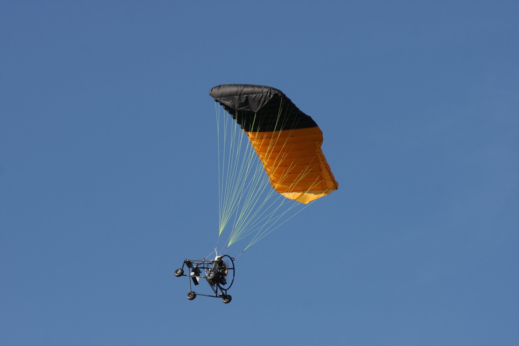
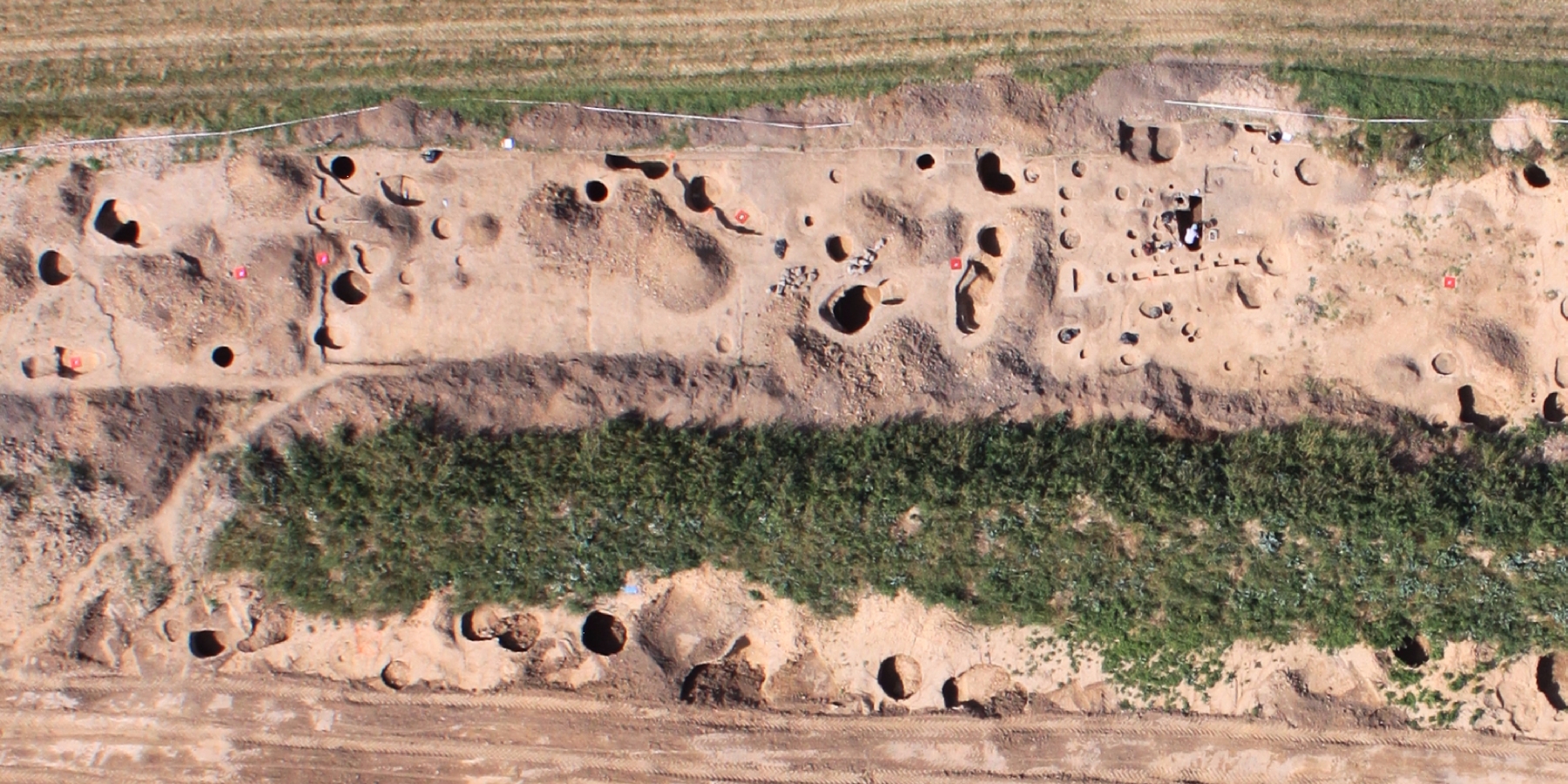
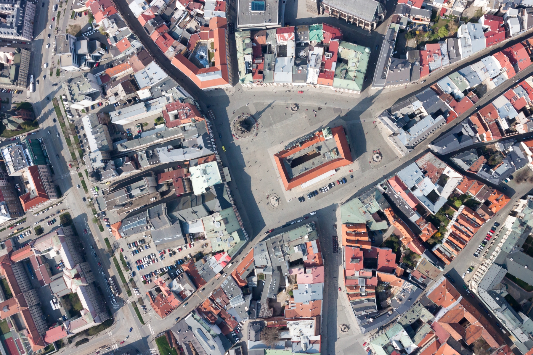
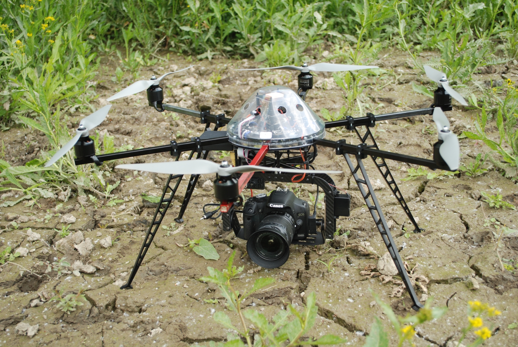
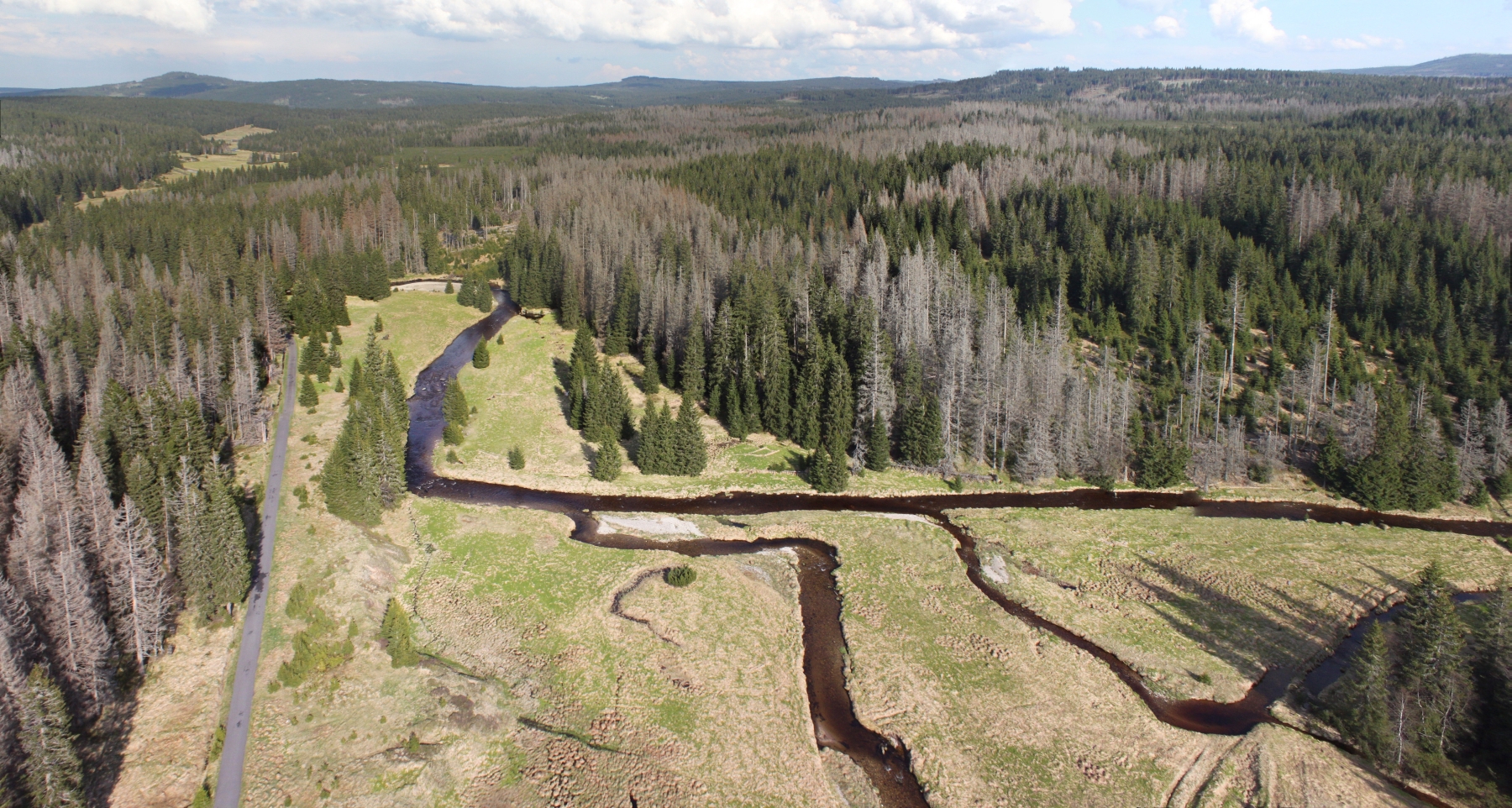
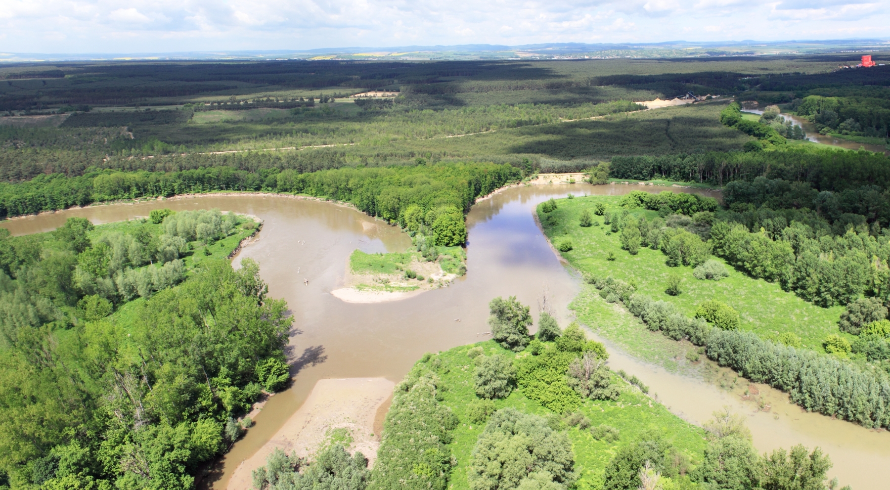
Data capture Department of Geoinformatics is a leading academic department in research and application of unmanned aerial systems (UAS). Based on latest scientific knowledge, rich practical skill and technical resources we foster aerial imaging and photogrammetry in rapid mapping that means remote image capture during crisis events (flash floods, landslides, fires). Capturing aerial images from different heights and views provides data resources with very detailed spatial resolution and high geometric quality. Our UAS as well as staff are certified for legal operations in many fields of applications. We are equipped by unique devices for remote data capture: • multicopter – Hexacopter XL • motorized paraglider – PIXY • multispectral camera – Tetracam ADC Image analysis To gain valuable information from raw images we use the latest computational methods of image processing. Wide range of approaches is available for both researcher and student in our laboratory, e.g. Structure from Motion and Semi Global Matching algorithms. Multispectral or hyperspectral analyses are applied in research of the agricultural crops development. The basic software packages in training and research are: • ENVI • Agisoft PhotoScan Professional • Trimble UAS Master Research activities Research team of Dept. of Geoinformatics focuses on Earth remote sensing and photogrammetry in landscape ecology, fluvial geomorphology and archaeology. Due to collaboration with the leading European experts we publish our achievements in high ranking scientific journals. Many our activities are conducted with the Czech Society for Photogrammetry and Remote Sensing. The most appreciated projects we focused on: • Methodology of UAS photogrammetry • UAS photogrammetry to evaluate changes in fluvial morphology • Rescue Archaeology • Monitoring of shallow landslides • Monitoring of a forest regeneration using UAS multispectral analysis Department of Geoinformatics in Olomouc is the first academic department in the Czech Republic which developed the new methodology for close range photogrammetry with unmanned aerial systems. Our research achievements contribute significantly to understanding the ongoing processes in the landscape. Earth remote sensing supports uncovering of unique archaeological sites in the city of Přerov, where Jan Amos Comenius stayed. We described the development of the forest regeneration in Šumava National Park using multispectral analysis. Our projects also gave the answers to the questions about the spatial evolution of the Morava river in its most valuable parts.