Within the agenda of “Spatial Modelling of Geographical phenomena in GIS”, the Department of Geoinformatics focuses on three main research areas: 1. Analysis and modelling or urban space in GIS (Urban Modelling), 2. Transportation Modelling, 3. Modelling of Ecosystem Functions.
Selected Projects:
- Advanced monitoring, spatial analysis and visualisation of urban landscape
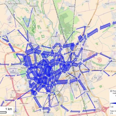
- Spatial simulation modelling of accessibility
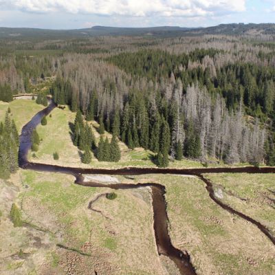
- Analysis and modeling of dynamics of ecotone spatial bonds in GIS environment
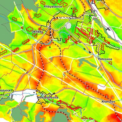
- CzechAdapt – System for exchange of information on impacts of climate change, vulnerability and the Czech Republic
Staff
- assoc. prof. Jaroslav Burian
- assoc. prof. Dr. Vilém Pechanec
- assoc. prof. Zdena Dobešová
- dr. Vít Pászto
- dr. Karel Macků
- dr. Rostislav Nétek
- dr. Jan Brus
- dr. Robert Minařík
PhD students
- Mgr. Daniel Pavlačka
- Mgr. Tereza Pohanková
- Mgr. Pavel Vyvlečka
- Mgr. Michal Kučera
- Mrg. Oldřich Bittner
- Mgr. Oldřich Rypl
Alumni
- dr. Jan Caha
- dr. Zbyněk Janoška
- dr. Lukáš Marek
- dr. Miloš Marjanović
- dr. Vít Pászto
- dr. Lenka Zajíčková
- dr. Tomáš Burian
- dr. Jitka Doležalová
- dr. Pavel Samec
- dr. Chukwudi Nwaogu
- dr. Jan Piňos
- dr. Tomáš Burian
- dr. Elvis Tangwa