ISSonVIS 2025
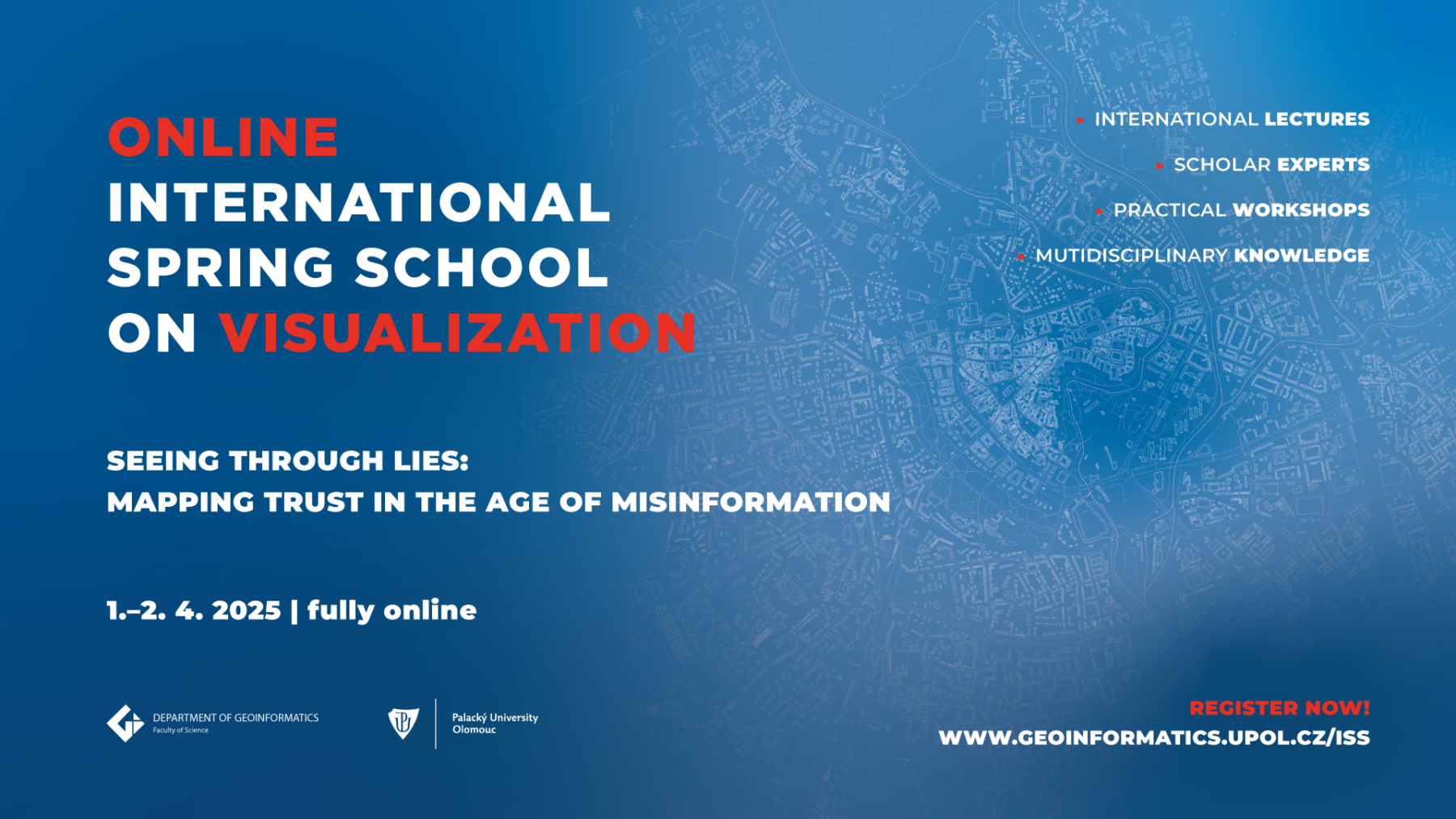
International Spring School on Visualization
Seeing Through Lies: Mapping Trust in the Age of Misinformation
Seeing Through Lies: Mapping Trust in the Age of Misinformation
- Date:
- 1. – 2. 4. 2025
- 1. – 2. 4. 2025
- Fee:
- 70 EUR
- members of CKS, CGS, CAGI 20 EUR
- students of Palacký University Olomouc Free
- Venue:
- Fully online via ZOOM
- Credits for participation:
- 3 ECTS
If you are a participant and have not received the meeting link, please contact Jakub Koníček at jakub.konicek@upol.cz.
The International Spring School on Visualization titled “Seeing Through Lies: Mapping Trust in the Age of Misinformation” explores the role of visualization in addressing challenges posed by misinformation. This interdisciplinary event focuses on innovative approaches to mapping trust, analyzing the spread of false narratives, and fostering critical thinking through data-driven visual storytelling. Participants will engage in workshops, lectures, and discussions to develop skills and tools for navigating the complex landscape of trust and truth in the digital age.
Confirmed speakers
Georg Gartner
Georg Gartner, current President of the International Cartographic Association, is a leading expert in cartography and geovisualization. As a professor at TU Wien, his work focuses on user-centered map design, mobile mapping, and the role of cartography in addressing misinformation.


Jakub Lysek
Jakub Lysek, a political scientist and lecturer at Palacký University Olomouc (UPOL), specialises in local governance, electoral behaviour, and quantitative political research. With academic experience from institutions such as the University of Michigan and KU Leuven, his work bridges political analysis and applied social sciences.


Eric Losang
Eric Losang is a researcher at the Leibniz Institute for Regional Geography (IfL) and Chair of the ICA Commission on Atlases. With expertise in geovisualization, critical cartography, and atlas design, he focuses on database-assisted information systems and innovative knowledge media in cartography.


Róbert Móro
Róbert Móro is a senior researcher at KINIT, specialising in AI, machine learning, user modelling, and misinformation detection. With a Ph.D. from the Slovak University of Technology, he has contributed to numerous academic and industry projects, focusing on personalisation, eye tracking, and combating misinformation.


Ian Muehlenhaus
Ian Muehlenhaus is a Senior Product Engineer at Esri and Chair of the ICA Commission on Map Design. A former academic, his expertise spans map design, persuasive geocommunication, and AI in GIS. Known for his innovative approach to geospatial visualisation, Ian bridges science, creativity, and trust in cartography.

Alena Vondráková
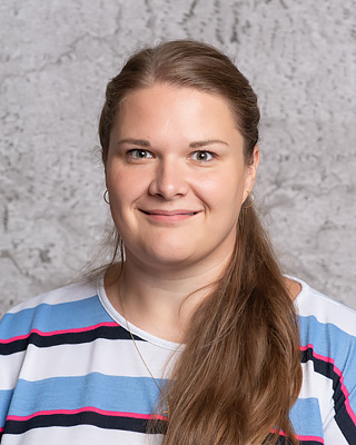
Alena Vondráková is an assistant professor at the Department of Geoinformatics, Palacký University Olomouc (UPOL). Her research focuses on thematic cartography, atlas design, graphic design in cartography, and legislative aspects of geoinformatics. With a robust academic background in geoinformatics and law, she combines expertise in cartographic visualisation and interdisciplinary applications.


Petra Hypšová
Petra Hypšová is a psychologist and PhD candidate in Work and Organisational Psychology at Palacký University Olomouc (UPOL). Her research focuses on deception detection using non-invasive technologies such as eye-tracking, infrared thermal imaging, and face-reading. She explores innovative methods for understanding truth and deception scenarios
Francis Harvey
Francis Harvey is a professor at Leipzig University and Coordinator of the Research Group “Data and Practices” at the Leibniz Institute for Regional Geography (IfL). With expertise in GIScience, geovisualization, and geoinformation ethics, his research explores how geospatial data and technologies shape societal trust, collaboration, and understanding in digital cartography.

Gabriela Godišková
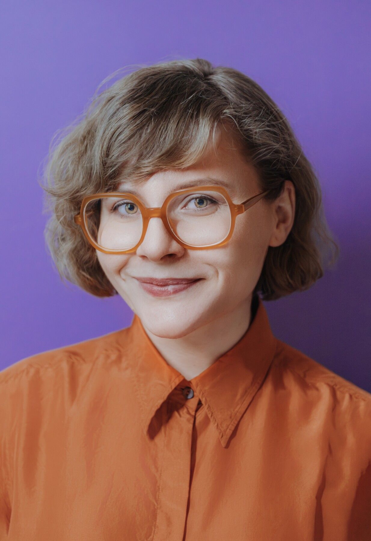
Gabriela Godišková is a Ph.D. candidate at the Department of Geography, Masaryk University. Her research focuses on user testing, eye-tracking, and virtual reality, emphasising geovisualization and the usability of digital environments.


Timothy Prestby
Timothy Prestby is a cartographer and researcher at the Penn State University, focusing on the intersection of map design, user experience, and geospatial data visualisation. His work examines how cartographic interfaces influence trust and decision-making in the context of misinformation


Nili Steinfeld
Nili Steinfeld is a senior lecturer at Ariel University and a researcher specialising in digital literacy, online privacy, and the impact of misinformation. Her work explores how individuals navigate trust and deception in digital environments, making her a key voice in understanding visual communication in the age of misinformation.
Programme
| Day 1 | Tuesday 1st April | |
|---|---|---|
11:30-12:00 | Organizers | Welcome and introduction |
12:00-13:00 | Georg Gartner | Trust in maps |
13:00-14:00 | Nili Steinfeld | Eye-tracking and digital literacy |
14:00-16:00 | Jakub Lysek | Mapping Manipulation: The Art of Electoral Data Distortion |
16:00-17:00 | Ian Muehlenhaus | Populist Maps and Hegemonic Cycles: the Geopolitics of Pulp Cartography |
17:00-18:00 | Petra Hypsova | Truth, lies and eye fixations: How personality influences ocular behaviour |
18:00-19:00 | Timothy Prestby | Seeing is Believing? Understanding the Science of Trust and Deception in Maps |
| Day 2 | Wednesday 2nd April | |
|---|---|---|
11:30-12:00 | Organizers | Start of a new day |
12:00-13:00 | Eric Losang / Francis Harvey | Ethics in maps |
13:00-14:00 | Gabriela Godišková | Tricks with graphs |
14:00-16:00 | Alena Vondráková | Tricks with maps – PRACTICAL |
16:00-17:00 | Robert Moro | The role of AI in disinformation production and its mitigation |
17:00-19:00 | Team work | Guided practical |
19:00-20:00 | Organizers | Concluding remarks |
All times are in CEST. Regular breaks will be scheduled throughout the programme.
Contact people


