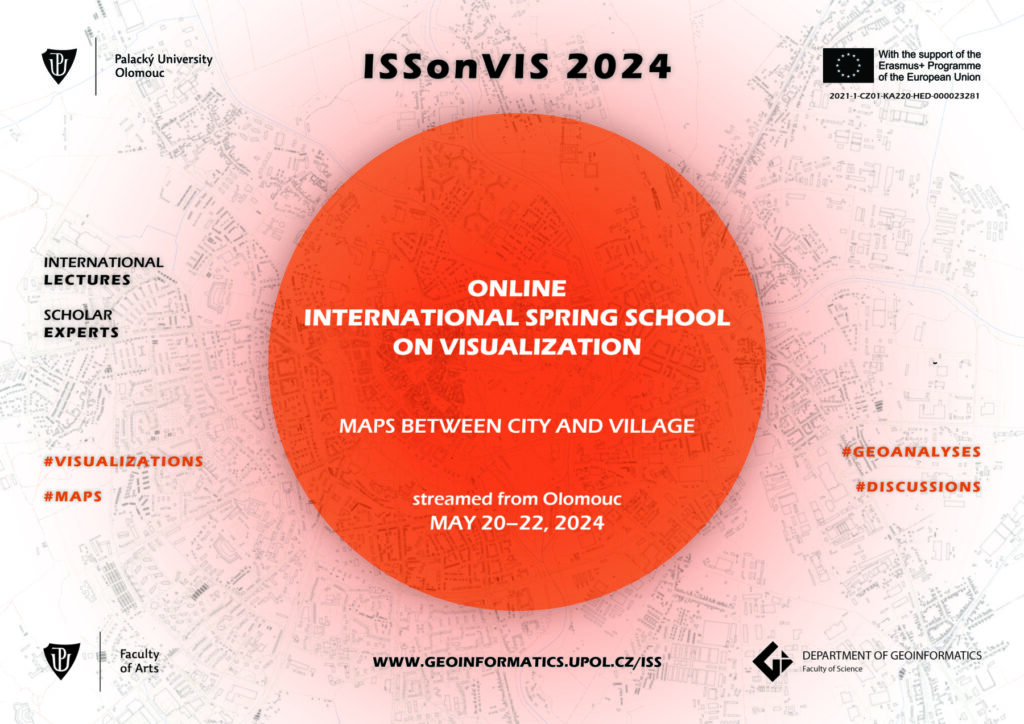
“ISSonVis 2024”
International Spring School on Visualization
— Maps between city and village —
20-22 May 2024
Online Venue: Department of Geoinformatics (Palacký University Olomouc, Czechia) via MS TEAMS
Topics: Mapping the geography of rural and urban regions, rural-urban dichotomy, urbanisation in literature, 3D (geo)visualisations
Experts:
- Pavlína Flajšarová – literature studies (UPOL, Czechia)
- Jakub Žejdlík – 3D visualisation (UPOL, Czechia)
- Karel Macků – spatial statistics and analysis (UPOL, Czechia)
- Jiří Flajšar – American history and literature (UPOL, Czechia)
- Vít Pászto – spatial analysis and rural/urban geographies (UPOL, Czechia)
- Vít Voženílek – geovisualisation and maps (UPOL, Czechia)
- International expert(s) on the topic – still in negotiations.
ISSonViS organizers:
- Vít Pászto (UPOL) – main coordinator and admin support
- Vít Voženílek (UPOL) – coordinator and supervising lecturer (geovisualisation & cartography)
- Pavlína Flajšarová (UPOL) – coordinator and supervising lecturer (literature studies)
ISSonVis mission:
During the “International Spring School on Visualization” we embark on a multidisciplinary exploration of the intricate relationship between cityscapes and rural landscapes. In the age marked by rapid urbanization and shifting demographics, understanding the dynamics between urban and rural spaces is crucial. Our virtual gathering serves as a nexus for scholars, researchers, students and enthusiasts from diverse fields to converge, collaborate, and explore the multifaceted dimensions of this dynamic interplay.
Spanning across the realms of American history, literature studies, spatial statistics, and geovisualization, our lecturers bring a rich tapestry of expertise. From the quaint English Garden Cities to the sprawling expanse of American Suburbia (in poetry), each presentation unveils unique perspectives on the urban-rural continuum. Through a synthesis of textual analysis, spatial analysis, and 3D visualization techniques, we delve deep into the past, present, and future of urban and rural landscapes.
Through the lens of 3D visualization, we transcend traditional boundaries, immersing ourselves in the dynamic spatiality of urban and rural data. With the use of spatial statistics and geovisualization, we unlock new dimensions of insight, reveal geographical patterns, trends, and disparities that lie hidden beneath the surface.
Join us as we embark on this interdisciplinary spring school, where the lines between disciplines blur, and the power of visualization becomes a catalyst for discovery. The SSonVis is subdivided into lectures, guided practices and edutainment sessions. The concept of the spring school is set up to be open to both geoinformatics and humanities students with no limitation on their level of study (Bachelor, Master, PhD).
ISSonVis – programme framework (—detailed programme will be announced soon—and may be subject of change—):

Registration & Fee
The registration fee is set to be a “flat” price of 40 EUR (1,000 CZK) and allows to:
- access to all lectures and workshops led by international scholar experts
- gain new knowledge in the field of geovisualisation
- have an opportunity to discuss own work with:
- other students
- international experts
- and expert buddies from the department of geoinformatics
- get new international contacts useful for future career
- get access to all learning and teaching materials
- certificate of attendance
- ECTS credits (where applicable)
REGISTRATION FORM
- registration will be opened soon.
Right after the registration you can choose a payment method (payment by card is prefered). You will be provided with a receipt/invoice upon payment.
Payment must be made by 13 May 2024.
Contact: vit.paszto(at)upol.cz