This research direction has two specializations i) small-format imaging of the the earth’s surface with subsequent data processing and ii) the integration of sensors and sensor networks into the geospatial technology (spatial databases, sensors web).
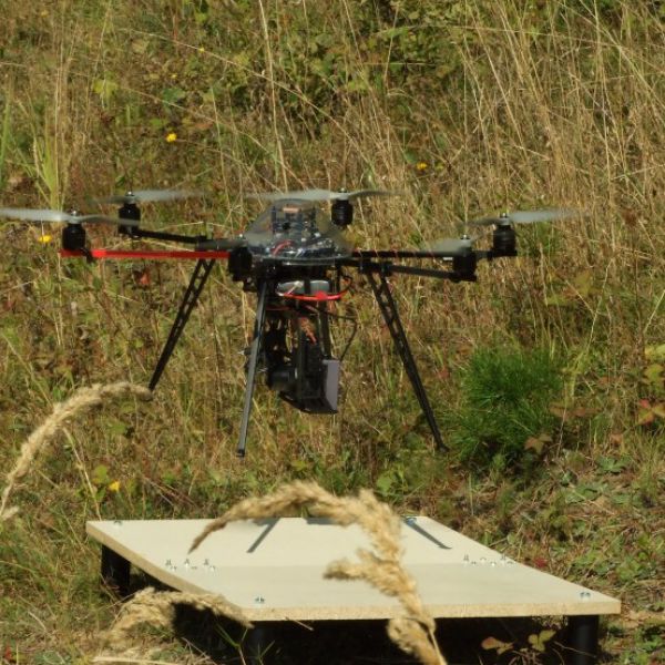
The main aim of this research area is the development and application of non-contact methods for spatial data collection. The research direction has two axes: (i) small-format imaging of the Earth’s surface with subsequent data processing, and (ii) the integration of sensors and sensor networks into geoinformation technologies (spatial databases, web and mobile applications).
Selected Projects
- The System for automated monitoring and modeling of groundwater pollution from non-point industrial sources (SAMMWAP)
- Contactless monitoring and modeling of spatial-temporal variability of selected differentiating properties (MOSESO)
- Detailed aerial mapping and flood impact monitoring in the V4region
- Evaluation of a new remote sensing methodology for detailed international mapping in the V4 region
- Integration of the sensor network and the small format remote sensing for prediction of the snow hazards